Tashanta
| Village
Tashanta
Tashant
|
||||||||||||||||||||||||||
|
||||||||||||||||||||||||||
|
||||||||||||||||||||||||||
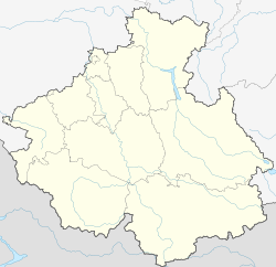
Taschanta ( Russian Ташанта ) is a mountain village in the Russian part of the Altai , near the border with Mongolia . It lies on a plateau in the headwaters of the Chuja River, a tributary of the Katun , below the Durbet Daba pass ( 2482 m ), and belongs to the Kosch-Agach district .
Tashtanta is the only village in the rural municipality of Tashantinskoje selkoje posselenije and has 550 inhabitants (as of October 14, 2010). The place is of regional importance as a border town and station on the R256 trunk road . This road, also known as Tschujatrakt ( Чуйский тракт / Tschuiski trakt ), coming from Novosibirsk , past Barnaul and Gorno-Altaisk opens up the northern parts of the Russian and Mongolian Altai and follows the route of an old mule track near the pass.
Near the road 8 km northwest of Taschanta old petroglyphs can be seen on a smooth rock wall , which depict the hunt for mountain sheep and ibex.
Individual evidence
- ↑ a b Itogi Vserossijskoj perepisi naselenija 2010 goda. Tom 1. Čislennostʹ i razmeščenie naselenija (Results of the All-Russian Census 2010. Volume 1. Number and distribution of the population). Tables 5 , pp. 12-209; 11 , pp. 312–979 (download from the website of the Federal Service for State Statistics of the Russian Federation)
- ↑ Photo at Panoramio

