
Bojanowo
| Bojanowo | |||
|---|---|---|---|

|
|
||
| Basic data | |||
| State : | Poland | ||
| Voivodeship : | Greater Poland | ||
| Powiat : | Rawicki | ||
| Area : | 2.34 km² | ||
| Geographic location : | 51 ° 42 ′ N , 16 ° 45 ′ E | ||
| Residents : | 2906 (Jun. 30, 2019) |
||
| Postal code : | 63-940 | ||
| Telephone code : | (+48) 65 | ||
| License plate : | PRE | ||
| Economy and Transport | |||
| Street : | E261 Wroclaw - Poznan | ||
| Rail route : | Wroclaw – Leszno | ||
| Next international airport : | Poses | ||
| Wroclaw | |||
| Gmina | |||
| Gminatype: | Urban and rural municipality | ||
| Gmina structure: | 17 school authorities | ||
| Surface: | 123.50 km² | ||
| Residents: | 8716 (Jun. 30, 2019) |
||
| Population density : | 71 inhabitants / km² | ||
| Community number ( GUS ): | 3022013 | ||
| Administration (as of 2015) | |||
| Mayor : | Maciej Dubiel | ||
| Address: | Rynek 12 63-940 Bojanowo |
||
| Website : | www.gminabojanowo.pl | ||

Bojanowo [ bɔja'nɔvɔ ] (German also Bojanowo , formerly Bajanowe ) is a city in Poland in the Greater Poland Voivodeship .
climate
The annual average temperature is 8.8 ° C with an annual average rainfall of 650 mm.
history

On April 16, 1638 Stefan Bojanowski on Bärsdorf received from Władysław IV. Wasa the permit for the construction of a city according to Magdeburg law with the obligation to build a Protestant church. The church was completed in 1640. Bogusław Bojanowski, son of the city founder, laid out a new city next to the old one in 1663 and named it Bogusławowo after his name ; for them he received the town charter from King John II Casimir on August 20 of the same year .
Due to the second partition of Poland , the place came temporarily to Prussia from 1793 to 1807 , but then became Polish again as part of the Duchy of Warsaw after the Peace of Tilsit .
Due to the resolutions of the Congress of Vienna , Bojanowo became Prussian again in 1815 and was assigned to the Kröben district. In the course of the Wielkopolska Uprising in 1848 and the planned division of the province into a German and a Polish part, the citizens of Bojanowo and other German-speaking cities in the region demanded to join Silesia and thus to the German Confederation.
On August 12, 1857, a fire destroyed the entire city, 440 houses were destroyed and around 2000 people lost their homes. In 1860 the construction of the new Protestant church, now Catholic, was completed. In 1881 a brewery with a capacity of 2000 hectoliters per year was opened. In 1887 the Kröben district was dissolved and Bojanowo was assigned to the newly founded Rawitsch district. In 1900 the train station was built.
After the end of the First World War , the city came back to Poland in January 1920, despite its predominantly German population. The border with Germany ran about three kilometers away.
The city was occupied by German troops on September 5, 1939 and annexed by the German Reich on October 8, 1939 . With the arrangement on place names change in Reichsgau Wartheland of 18 May 1943, the city was named after its honorary citizen Heinrich Schmückert in Schmückert renamed. On January 20, 1945, the Germans fled the city from the Red Army , which moved in on January 23 and returned Bojanowo to Poland. The remaining Germans were subsequently expelled from Bojanowo.
Population development

Up to the First World War, over 90 percent of the population were German. After the end of the war and the change of state affiliation Bojanowos, the number of inhabitants decreased and the population structure changed. In 1921, only 55.2 percent of the population were Germans and 43.6 percent were Poles.
In 1938 there were 2994 inhabitants, 86.9 percent of them Poles, 12.5% Germans and about 0.6 percent Jews. In 1946 there were 1984 inhabitants in Bojanowo.
| year | Residents | Remarks |
|---|---|---|
| End of 18th century | 2451 | 379 houses, one Protestant church, 37 mills, 144 Jews, 80 Catholics |
| 1816 | 2692 | |
| 1819 | 2613 | a Lutheran church, a Latin school, 410 houses, 200 Jews. A "fairly important city" with 334 workers in cloth mills. |
| 1837 | 2299 | |
| 1843 | 2204 | |
| 1858 | 1765 | |
| 1861 | 2026 | |
| 1885 | 2216 | of which 1812 Protestants, 310 Catholics and 93 Jews in 283 residential buildings (122 active military personnel) |
| 1905 | 2106 | 1610 Protestants, 429 Catholics and 66 Jews (177 Poles, three Czechs) |
local community
The community has about 9000 inhabitants on an area of 123.5 km². The following localities belong to the urban and rural municipality Bojanowo:
| Surname | German name (1815-1919) |
German name (1939-45) |
|---|---|---|
| Bojanowo | Bojanowo | Adorns |
| Czechnów | Mining | Mining |
| Gierłachowo | Gerlachowo 1905-1919 Gerlach |
Gerlach |
| Giżyn | Geischen | Geischen |
| Golina Wielka | Lang Guhle | Langguhle |
| Golinka | Alt Guhle | Altguhle |
| Gołaszyn | Bärsdorf | Bärsdorf |
| Gościejewice | Gusswitz | Gusswitz |
| Kawcze | Kawitsch | Langendorff |
| Pakówka | Pakowko 1803 Pakowke 1901–19 Wiesenrode |
Wiesenrode |
| Parłowice | Porlewitz | Porlewitz |
| Potrzebowo | Potrzebowo 1905–19 new ground |
New ground |
| Sowiny | Sowiny | Eulau |
| Sułów Mały | Little Saul | Little Saul |
| Szmezdrowo | Schlemsdorf | Schlemsdorf |
| Tarchalin | Tarchalin 1803 Tarche |
Tarche |
| Trzebosz | Triebusch | Triebusch |
| Wydartowo Drugie | Hardness | Hardness |
| Wydartowo Pierwsze | Wydartowo | Langgusswitz |
| Zaborowice | Saborwitz since 1936 Waffendorf |
Arms Village |
traffic
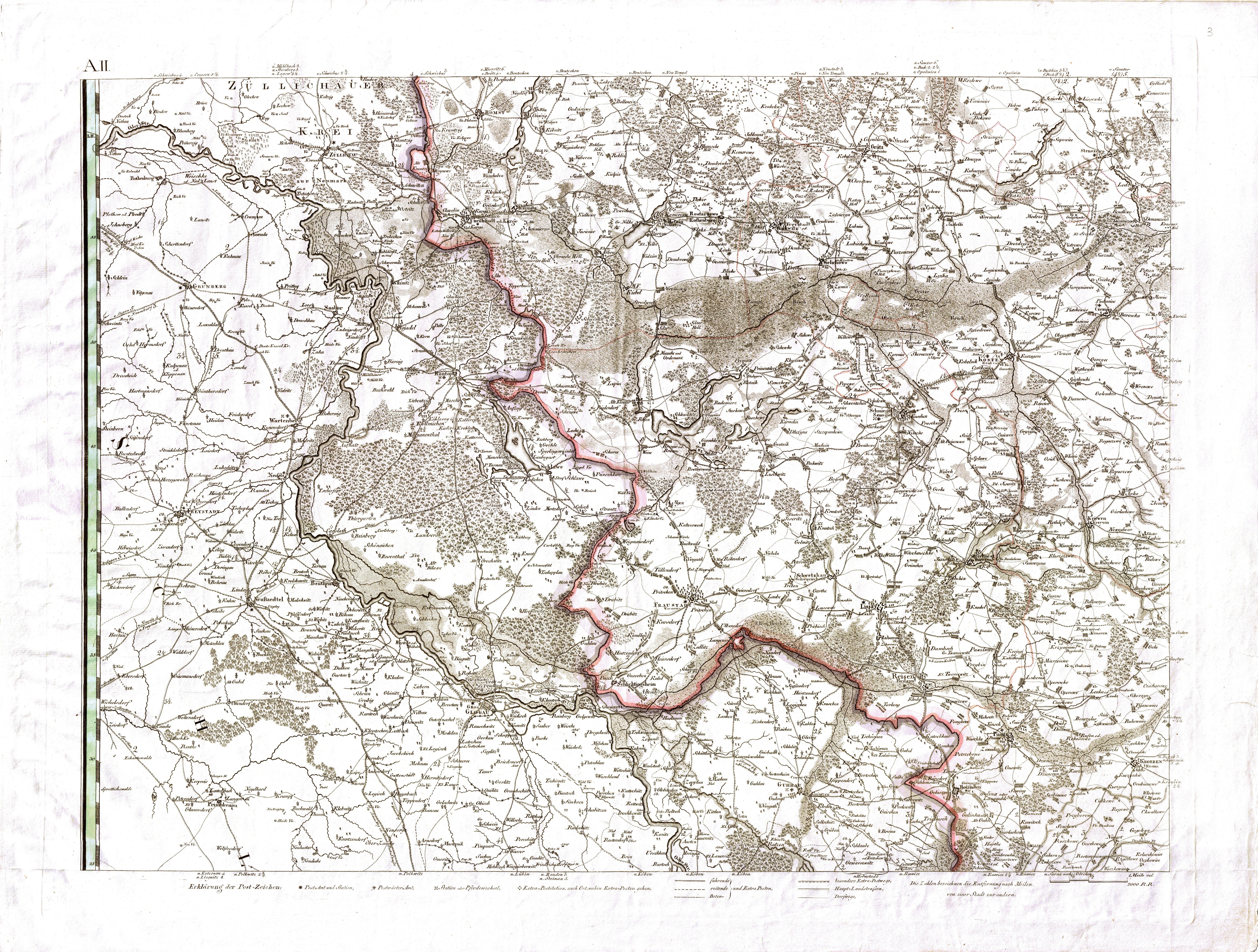
The city is located on the European route 261 between Wroclaw and Poznan , each of which has an international airport. There are also Leszno 20 kilometers north and Rawicz 15 kilometers south on the road .
Bojanowo station is on the Wrocław – Poznań railway , where the Bojanowo – Głogów railway began .
sons and daughters of the town
- Johann Samuel Kaulfuß (1780–1832), classical philologist in Posen and New Stettin
- Julius Frauenstädt (1813–1879), philosopher
- Friedrich August Theodor Dietrich (1817–1903), sculptor in Berlin
- Karl Peucker (1859–1940), geographer and cartographer
literature
- Heinrich Wuttke : City book of the country Posen. Codex diplomaticus: General history of the cities in the region of Poznan. Historical news from 149 individual cities . Leipzig 1864, pp. 271-272.
Web links
Individual evidence
- ↑ a b population. Size and Structure by Territorial Division. As of June 30, 2019. Główny Urząd Statystyczny (GUS) (PDF files; 0.99 MiB), accessed December 24, 2019 .
- ^ Website of the city, Burmistrz , accessed on February 16, 2015
- ↑ POŁOŻENIE GEOGRAFICZNE I KLIMAT ( Memento of August 7, 2004 in the Internet Archive )
- ↑ Order about a change of place name in Reichsgau Wartheland in the ordinance sheet of the Reich Governor in Warthegau of May 18, 1943 (pdf; 1.9 MB)
- ↑ CZASY NAJDAWNIEJSZE ( Memento from October 14, 2007 in the Internet Archive )
- ↑ a b c d e f Heinrich Wuttke : City book of the country of Posen. Codex diplomaticus: General history of the cities in the region of Poznan. Historical news from 149 individual cities . Leipzig 1864, pp. 271-272.
- ^ FW Heidemann: Manual of the post-geography of the royal. Prussian states in connection with a post-charter of K. Preuss. Monarchy, which includes the course of ordinary driving and extra items . Weimar 1819, p. 110 .
- ^ Community encyclopedia for the Kingdom of Prussia. Based on materials from the census of December 1, 1885 and other official sources. Booklet V. Poznan Province . Berlin 1888, p. 122-123 .
- ^ Community encyclopedia for the Kingdom of Prussia. Based on materials from the census of December 1, 1905 and other official sources. Booklet V. Poznan Province . Berlin 1908, p. 132-133 .
- ↑ http://maps.mapywig.org/m/German_maps/series/150K_Gilly_SKvSudpreussen/Gilly_Spezialkarte_von_Suedpreussen_150k_BCUL_03_A2.jpg
- ↑ http://maps.mapywig.org/m/German_maps/series/150K_Gilly_SKvSudpreussen/Gilly_Spezialkarte_von_Suedpreussen_150k_BCUL_03_A2.jpg