
Brzozów (Rzeczyca)
| Brzozów | |||
|---|---|---|---|

|
|
||
| Basic data | |||
| State : | Poland | ||
| Voivodeship : | Łódź | ||
| Powiat : | Tomaszowski | ||
| Gmina : | Rzeczyca | ||
| Geographic location : | 51 ° 38 ' N , 20 ° 16' E | ||
| Height : | approx. 170 m npm | ||
| Residents : | 216 | ||
| Postal code : | 97-220 | ||
| Telephone code : | (+48) 44 | ||
| License plate : | ETM | ||
| Economy and Transport | |||
| Street : | Czerniewice - Wielka Wola - Sadykierz | ||

Brzozów [ ˈbʒɔzuf ] (German Birkenfeld or Birkenfelde ) is a village that was founded in 1802 as a Prussian colony and today belongs to the municipality of Rzeczyca in the Tomaszów district, which is in the Łódź Voivodeship in Poland .
geography
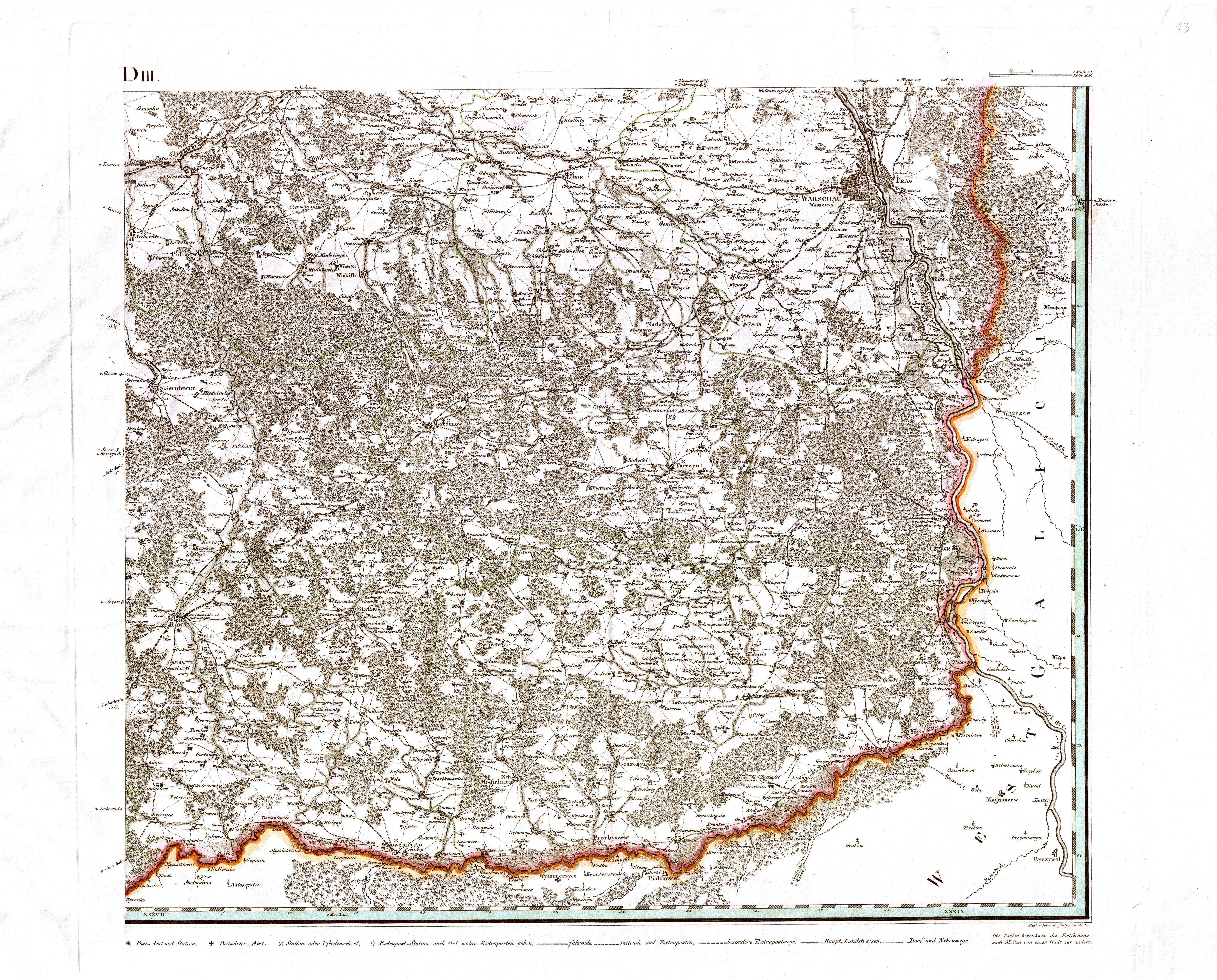
The L-shaped village of Brzozów when viewed from the air is located in an almost flat area in the midst of large agricultural areas north of an extensive forest area. It is located about 85 km southwest of Warsaw , almost 60 km east of Łódź , 20 km northeast of its district town Tomaszów Mazowiecki , 15 km south of Rawa Mazowiecka and 2 km northwest of the municipality's capital, Rzeczyca. At its northern end, Brzozów is surrounded by the Luboczanka (formerly Leśnica ) , a small tributary of the Pilica on the left . The Luboczanka runs near Brzozów in a small valley that is a few meters lower than the surrounding flat arable land and is made up of bushes and trees.
7 km northwest of the village, the European route 67 runs from Prague to Helsinki (so-called “Via Baltica”), which also forms the inner-Polish expressway S8 ( Breslau - Białystok ). Droga wojewódzka (provincial road) 726 between Rawa Mazowiecka and Inowłódz runs 2 km east of Brzozów through the neighboring village of Sadykierz in a north-south direction . 10km east in the 1970s to improve the connection between Warsaw and runs Krakow built Central railway highway , the nearby Brzozów in Strzałki furnished depot but only serves internal purposes and is not available for passengers. The nearest public train station has been in the district town of Tomaszów since 1885.
history
Foundation in Prussian times

In the 18th century there was only forest in the place of today's village Brzozów. In the course of the three partitions of Poland from 1772 to 1795, Prussia , Russia and Austria captured the dual state of Poland-Lithuania and divided it among themselves. From the territories gained by the second division in 1793, Prussia formed its new province of South Prussia . Since they did not expect to have to give up these areas again after 14 years, efforts were made to intensify agricultural use according to the latest findings and, through advertising campaigns, brought settlers from other German states into the country, especially from Württemberg, which was then besieged by Napoleon . In this way a large number of so-called colonies emerged, the inhabitants of which were not serfs but free farmers.
When in 1802 the colonization had long been in full swing, the best settlement areas had already been allocated and the Prussian colonization administration under Captain von Nothardt was already in need of accommodating all the settlers who had poured in, they laid in a wooded area 16 km west of Rawa Mazowiecka on the banks of the Rawka next to an already existing mill a new colony called Erdmannsweiler . This was designed for 368 residents in 72 courtyards and was therefore rather large, but based on its ratio of area per courtyard it was more likely to be counted among the poorer colonies. The local researcher Otto Heike assumes that the immigrant group, for which these 72 farms were intended, was significantly larger than planned and therefore another colony called Birkenfeld was founded 22 km further south-east on the very edge at the same time to take in those settlers which could no longer be accommodated in Erdmannsweiler.
Birkenfeld (also known as Birkenfelde depending on the source), like Erdmannsweiler, was located in an area of moderately productive sandy soils, which in both cases still had to be cleared first, and was also far from any other Prussian colonies, but only 5 km from the Pilica flowing south of the village , which at that time formed the border between Prussia and Austria. It was named after the town of Birkenfeld on the Württemberg- Baden border near Pforzheim because the first 12 settlers in the new colony included two families (Nicolaus Brunner and Anton Zimmermann) who came from Birkenfeld in Württemberg. This naming procedure was used quite often during the colonization of South Prussia.
The Birkenfeld colony had 38 settler sites (courtyards) with a total of 216 inhabitants, making it one of the smaller ones established in South Prussia. Nevertheless, the residents attached great importance to having their own village school, which was built in the first few years after the settlement. It existed as a German school at least until 1919. Administratively, Birkenfeld belonged to the Lubochnia Office 14 km to the west .
Little is known about the further concrete history of the village, but it can be assumed that the general development was similar to that in Erdmannsweiler. In Birkenfeld, too, the clearing work was probably not yet completed when Prussia collapsed in 1806, so that it had to be continued without state aid and, in particular, without the colonist privileges offered by Prussia (grants, tax exemptions, etc.). With the formation of the Duchy of Warsaw by Napoleon, taxes were now due for the colonists. The need increased in 1809 through Austria's Vistula campaign and in 1812 through Napoleon's Russian campaign, initially with troop passages and requisitions , then with the returning troops and the subsequent Russian occupation. Only after the Congress of Vienna in 1815 did times become a little quieter: Congress Poland had been formed and was de facto subordinate to the Russian Tsar .
After Napoleon
At the beginning of the Polish Congress period, a decree issued by the governor in Warsaw on May 2, 1820 replaced numerous German place names with Polish ones. Birkenfeld was renamed Brzozów , which could be translated back into German as "Birklingen". (Polish brzoza = birch, -ów = ending for a locality.) However, the residents continued to use the German language and the place name Birkenfeld among themselves until 1945. The new name for Erdmannsweiler was Kochanów, which has a completely different meaning in Polish (Polish kochany = dear). Both variants were also used in numerous other renaming.
For the year 1827, the Geographical Lexicon of the Kingdom of Poland from 1880 lists 260 inhabitants in 28 houses for Brzozów, but at the time of printing it had 436 inhabitants in 40 houses. The number of 28 houses in 1827 (10 less than when it was founded) could be a typographical error, as the “Warsaw List of Colonies and Colonists from 1835” again lists 37 colonists and 210 relatives on 39 fireplaces and none in neighboring Kochanów there is a temporary decrease in the number of houses. A census in 1851 determined 316 “Germans” in Brzozów. According to their origin and the conditions in the other South Prussian "Swabian colonies", it can be assumed that the inhabitants were mostly Protestant and tried to limit the influx of (mostly Catholic) Poles as far as possible. In 1821 a Protestant community was founded in Rawa Mazowiecka, to which the Brzozów Protestants also belonged from then on. In contrast to Kochanów, nothing is known about the building of its own church in Brzozów, but there was a German cemetery 200 m south-east of the village, on which there are still some gravestones from the 1910s with German inscriptions.
As in Kochanów, however, it can be assumed that the pastor from Rawa only came occasionally and the service was usually held by the local cantor , who was usually also the teacher of the school established in the village . The existence of the school is documented by 1865 at the latest.
Notable events after the founding of Congress Poland were the November uprising of 1830/31 and the January uprising of 1863/64, neither of which brought Poland the desired independence from Russia, but on the contrary resulted in an even more rigid rule by the tsar over his Polish territories. The only improvement for the Polish peasants was the abolition of their serfdom in 1864, after this step had already been carried out (at least formally) in Russia in 1861. As a result, not only the sons of the colonists who had no possessions, but also Polish farmers could move to the growing new industrial cities such as Łódź or Żyrardów , which is also only 42 km away , and try to earn a living there as factory workers without the permission of their landlord .
20th century
The Second World War began on September 1, 1939 with the attack of the German Wehrmacht on Poland , which ended after a few weeks with the submission of Poland, in which the Soviet Union then also participated. While the nearby Łódź ( renamed Litzmannstadt in 1940 ), contrary to initial plans, was added to the newly formed Reichsgau Wartheland and thus also to the actual German Reich in November 1939 , Brzozów (like Kochanów) fell to the so-called Generalgouvernement , a kind of Polish rump state under German control, which, according to the will of the National Socialists, should above all have the task of making all its resources available to the German Reich regardless of its own well-being. The border to the Warthegau ran about 10 km west of Kochanów.
For Brzozów, the Second World War ended in mid-January 1945 with a major offensive called the Vistula-Oder Operation by the Red Army , which was not unexpected for Germany, but still surprising in terms of time and form , which overran central Poland within a few days and German resistance, if it was still there appeared, extinguished in no time. After the consolidation of the situation and the official end of the war in May 1945, the Polish government took over again. As a result, numerous residents of German descent left the country, and the houses and courtyards of Brzozów were taken over by Poles.
After the Polish administrative reform in 1975, which abolished the Powiat (district) level and instead increased the number of voivodeships (provinces) from 16 to 49, Brzozów belonged administratively to the Piotrków Voivodeship , after its dissolution in 1998 back to the Łódź Voivodeship. From the late 1950s at the latest, there was also a primary school again, but it has since been closed. The German cemetery still exists. It had grown over the decades, but was cut free by members of the army on November 6th and 7th, 2018, and a candle was lit on the still-preserved memorial for the dead of the First World War. The high wooden cross has also been preserved to this day and is now clearly visible again.
See also
literature
- Otto Heike: 150 years of Swabian settlements in Poland 1795–1945 . Self-published by the author, Leverkusen 1979.
Web links
- Historical map by David Gilly (1802/03) with the course of the Luboczanka (Leśnica) from Kanice to the mouth at Lubocza Mapywig.org (at the bottom left of the map, Birkenfeld was built roughly where the green line meets the edge of the map)
Individual evidence
- ↑ Thomas A. Stangl: General table of the progress of the colonist system in South Prussia. In: Old Prussian gender studies. Odessa Digital Library, February 24, 2001, accessed October 31, 2019 .
- ^ Otto Heike: 150 Years of Swabian Settlements in Poland 1795–1945 . Leverkusen 1979, p. 18 .
- ^ Słownik geograficzny Królestwa Polskiego i innych krajów słowiańskich . tape 1 . Warszawa 1880, p. 424 ( digitized version ).
- ^ Oskar Kossmann : The Germans in Poland since the Reformation - historical-geographical sketches . JG Herder Institute, Marburg / Lahn 1978, p. 373 .
- ^ Oskar Kossmann: The Germans in Poland since the Reformation - historical-geographical sketches . JG Herder Institute, Marburg / Lahn 1978, p. Card insert 11 .
- ↑ Posprzątano kwaterę wojenną z okresu I wojny światowej oraz XIX-wieczne groby i krzyż (report on the excavation of the German cemetery in Brzozów in 2018). In: Format 3A. November 9, 2018, accessed October 31, 2019 .