
Sea level
The sea is the height level of the sea surface. It corresponds approximately to an equipotential surface of the earth's gravity field . The current sea level, which is influenced by tides, wind and waves, currents and salinity, must be distinguished from a long-term mean sea level.
The mean sea level

In geodesy , a mean water level (MW) is often used as a zero level for altitude information (sea heights ). For this purpose, the water levels measured at coastal gauges ( mareographs ) are averaged over decades, so that seasonal effects and the tides are practically eliminated. Such mean values of different water level stations determined in different time periods are not exactly on an equipotential surface, which is why the zero levels of the height systems of different countries differ somewhat. For example, the Mediterranean level differ Trieste and Genoa for Amsterdam level by about 30 cm.
The mean sea level largely corresponds to the geoid and is also used as a reference surface for a geodetic earth model . The deviations from the geoid are mainly caused by ocean currents and can reach a few decimeters.
The current sea level
Tide and wind
In most places, the sea level fluctuates during the day due to the tides . They have an average period of 12½ hours and depend on the position of the moon and, to a lesser extent, on the position of the sun . High tide (as the highest point of the high tide ) occurs in the area of the sea where the moon is above and on the exact opposite side, while the low water occurs in between. A particularly strong flood, the spring tide , occurs when the moon and sun are on the same side of the earth (at the new moon , the conjunction of sun and moon) or when they are opposite each other (at the full moon , the opposition of the sun and moon).
During tidal on the open sea is at most ± 0.5 meters, it is in coastal near due to congestion effects often significantly larger (values of several meters can be produced by tidal power stations use). If the lift is increased by onshore winds (winds towards land), a storm surge can occur. As a neap tide is called flood those in which the sun and moon on the earth viewed at an angle of 90 ° to each other (increasing or decreasing half-moon ) and the flow therefore is markedly weaker.
Due to the tide-related water level differences and the associated shifts of huge water masses, strong currents arise in shallow waters, at capes and at narrow points between islands (see tidal current ).
Wind over greater distances ( fetch ) creates a rise in the water level through continuous adhesion [source?] To the water surface at the far end of a water surface. Surface water moves slowly in the direction of the wind ( drift current ). This creates a drop at the nearer end. At bottlenecks, for example between islands, both the water level differences and the current are increased.
Regional differences in water temperature and salinity also have a smaller but measurable influence . They are the cause of most ocean currents .
Regional differences in gravity
The geometric height of the water surface (which can be viewed as approximately ellipsoidal) also depends on the density distribution in the interior of the earth: the denser the regional mantle, the higher the force of gravity at these points . The water level in the Indian Ocean near Sri Lanka is up to 105 meters lower than the average, northeast of Australia near New Guinea the sea level is up to 80 meters higher than the average. The water level adapts to the local gravitational potential of the earth. A ship following the route described therefore does not do any work to overcome the differences in altitude. So that all points with the same gravitational potential (which form an equipotential surface) have the same height, the height is also defined physically (see also geoid ).
Global rise in sea levels from the 19th century

There has been measurable sea level rise since about 1880, and it is believed that it will accelerate in the future. The reasons for the increase are thawing glaciers and the thermal expansion of seawater. Evaluations of level measurements and measurements using satellite altimetry with the help of TOPEX / Poseidon have shown that the global mean sea level rose by 17 cm in the course of the 20th century. The rate of increase since the 1990s is about 3.5 mm / year. A long-term increase would particularly affect low-lying coastal areas and cities as well as islands.
These changes are very different from region to region, as every shift in mass also affects the geoid and the earth's center of gravity. According to Bretterbauer , there are also regions with falling sea levels.
Fluctuations in sea level over geological time periods

Medium to long-cycle fluctuations in the global mean sea level on the order of several tens to a few hundred meters are normal in geological history . These are known as eustatic sea level fluctuations . In the past 540 million years ( Phanerozoic ), a large number of phases with high (especially in the Ordovician and the Upper Cretaceous ) and deep (especially in the Carboniferous , Permian , Triassic and the younger Cenozoic ) eustatic sea level have been identified in geological tradition . Estimates of the mean eustatic sea level in the Phanerozoic show that the earth is currently in a phase of very low eustatic sea level. In addition to the charge of the currently measured eustatic sea level rise made climatic factors also playing in geological time Geodynamics (especially fluctuations in the ocean floor spreading , rate) and both climatically and affected geodynamically, isostatic vertical movements of the oceanic crust a role.
In a geological context, i.e. above all with regard to the influence of sea level on sedimentation and erosion , a rise in sea level or inland migration of the coastlines is referred to as transgression and a fall in the sea level or seaward migration of the coastlines as regression . A very slow, "groping" advance of the sea is called ingression . However, regionally observed transgressions or regressions do not necessarily indicate a change in the eustatic sea level, because the fact that the sea penetrates or recedes in a certain region can also be related to a regional lowering (subsidence) or uplifting ("uplift") of the continental crust .
During the last glacial period , the sea level fell and at its lowest point was about 100 meters lower than it is today. Due to the increased land area, land bridges were created in many places between areas that were previously - and later again - separated from one another by seawater.
See also
Web links
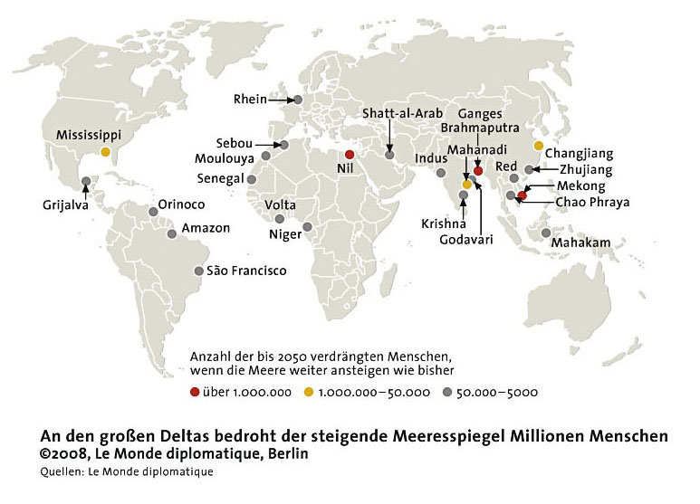
- Map: Large river deltas and sea level rise
- Sea level rise and coastal threats at the Cluster of Excellence " Future Ocean "
Individual evidence
- ↑ JA Church, PU Clark, A. Cazenave, JM Gregory, S. Jevrejeva, A. Levermann, MA Merrifield, GA Milne, RS Nerem, PD Nunn, AJ Payne, WT Pfeffer, D. Stammer, AS Unnikrishnan: Sea Level Change . (PDF) In: TF Stocker, D. Qin, G.-K. Plattner, M. Tignor, SK Allen, J. Boschung, A. Nauels, Y. Xia, V. Bex, PM Midgley (eds.): Climate Change 2013: The Physical Science Basis. Contribution of Working Group I to the Fifth Assessment Report of the Intergovernmental Panel on Climate Change. Cambridge University Press, Cambridge, United Kingdom and New York, NY, 2013.
- ↑ Intergovernmental Panel on Climate Change; IPCC: Summary for Policymakers . In: IPCC Fifth Assessment Report (AR5) . 2013 ( online, PDF - WG1).
- ↑ CSIRO Marine and Atmospheric Research: Historical Sea Level Changes: Last Decades
- ↑ K. Bretterbauer: Climate development and sea level. In: Growth and Limits to Growth. Nova Acta Leopoldina No. 285, pp. 151–166, Halle / Saale 1993.
- ↑ Steven Holland: Accommodation . An Online Guide to Sequence Stratigraphy. University of Georgia (UGA) Stratigraphy Lab, 2008 (accessed June 17, 2013).