
Säckelgraben
|
Säckelgraben Seckelgraben |
||
 Säckelgraben begins in the field (border Ostheim / Ober-Mörlen) (in the background Brüler Berg and Hausberg , right) |
||
| Data | ||
| location |
Rhine-Main lowlands
|
|
| River system | Rhine | |
| Drain over | Usa → Weather → Nidda → Main → Rhine → North Sea | |
| source | north of Ober-Mörlen 50 ° 23 ′ 45 ″ N , 8 ° 41 ′ 24 ″ E |
|
| Source height | 190 m above sea level NHN | |
| muzzle | in Nieder-Mörlen in the USA Coordinates: 50 ° 22 ′ 31 ″ N , 8 ° 44 ′ 24 ″ E 50 ° 22 ′ 31 ″ N , 8 ° 44 ′ 24 ″ E |
|
| Mouth height | 150 m above sea level NHN | |
| Height difference | 40 m | |
| Bottom slope | 7.6 ‰ | |
| length | 5.3 km | |
 Bag size flows into Usa (Nieder-Mörlen / Bad Nauheim) |
||
The coffers ditch is over five kilometers long, in Nieder-Mörlen partially piped trench in the Wetterau in Hesse Wetteraukreis , the almost imperceptible slope in the district of Ober-Mörlen on the border Butzbacher district Ostheim starts and coming from the north, now with a noticeable gradient, in the Bad Nauheim district of Nieder-Mörlen, on the border with Bad Nauheim, flows into the USA from the left .
geography
course


In Ober-Mörlen
The Säckelgraben begins at a height of about 190 m above sea level. NHN in the sub-natural area of the Butzbach basin between the intensively used fields Unterm Kalk in the north and Hintere Weide in the south at the end of a pipe coming from Ostheim ⊙ . At the beginning, as at the end, its sole consists of concrete half-shells laid next to one another.
At its beginning to the passage of unusual square cross-section of the motorway A 5 / e 451 it is passed on both sides by trees and shrubs (including Rowan , Elsbeere , maple , hornbeam , dogwood coals, hazel , cherry , snowball , black cherry ). So it runs 1¼ km dry, initially strongly straightened eastward between the Lower Weide corridor on its left and the Hintere Weide corridor on the right, gradually approaching the course of the Main-Weser Railway , and is made up of several field and one Cycle path (Ober-Mörlen - Nieder-Weisel - Butzbach with a piece of the A 5 including the branch before Steinfurth past the "Römerhöfen").
East of the A 5, it has a triangular to trapezoidal cross-section, the bank slopes of which are completely overgrown with grass. A few old alders and young willows stand here and there on its banks. With a bend to the right and southeast, its course has become almost parallel to the Main-Weser Railway. 600 m east of the A 5, the Bundesstraße 275 (old B 3) crosses it on a long ramp that also bridges the Main-Weser Railway. The drainage of the road and bridge apparently creates a flow of water in the trench. To the east of the B 275, the Säckelgraben comes so close to the railway embankment over a distance of almost 200 meters that it is led through a brick tunnel on its north side, where it changes north of the Seckel corridor into the district of Nieder-Mörlen.


In Nieder-Mörlen
With the new construction of the B 3a as a bypass for Bad Nauheim and Nieder-Mörlen in the 1980s, the course of the Säckelgraben below the Ober-Mörler railway underpass had to be changed, as the road had been partially routed over it. At the same time it was proposed by the Lower Water Authority of the Wetterau district as a receiving water for part of the street sewage. So, hidden between the railway and the road, an outlet from the road drainage flows into the Säckelgraben from the left and west, which after the passage under the B 3 maintains a wet biotope preserved by bushes and trees with this water . Along the B 3, at about 200 meters, the ditch is accompanied by various trees. Then the Säckelgraben turns slightly to the left and runs south of the approximately 200 m high Galgenberg in the corridor Unter dem Galgenberg, first eastwards, after a bend north of the corridor Im Mittelfeld at Steinfurther Loch, southeast to the old connecting path between Nieder-Mörlen and Steinfurth and the later one gravel pit to the east, at the border fence of which it is led south to the beginning of the piping. Another trench from the road drainage of the B 3 flows from the right and southwest into the Säckelgraben. The measuring table sheet from 1938 shows its original course on their premises. The existing trench would have been ideal for the piping at 350 to 400 meters. Today it is probably modified, because the original entrance to the masonry railway underpass is under the B 3, the old railway passage has therefore been lengthened with concrete pipes by the width of the street and provided with a concrete basin at the entrance that connects the original piping to the new inlet.
After a temporary seizure in 2017 of the 17 hectare site of the company Cemex GmbH , which was used as a gravel pit from the mid-1960s until 2010 , this has been identified as NSG "Laukertsberg gravel pit near Nieder-Mörlen" since November 19, 2019 .


Below the Nieder-Mörler railway underpass, the Säckelgraben bends 90 ° to the left and southeast and follows the Main-Weser Railway until it reaches a dry reservoir. Above this a passage for the road drainage of the B 3 has been driven into the embankment. This inlet flows through a channel made of basalt blocks into a kind of stilling basin and from the left into the Säckelgraben. From the barred basin outlet, the ditch crosses a plot of land with fruit trees and alders, now with a noticeable gradient further south-east, and, along a dirt road, reaches a landscape on the outskirts of Nieder-Mörler, which is used as fields and meadows. This merges into a drinking water protection area Grohborn / Säckelgraben, which is used extensively as meadow . After the last crossing under a path with a water-bound ceiling (as an extension of the Barbarastraße below ), the Säckelgraben again has a bed made of concrete half-shells. In the building for treating the extracted well water with chlorine , a drinking water drain of several liters per hour is created, which flows from a plastic pipe from the right into the Säckelgraben and wets its last 250 meters - more than 200 meters of which is piped under a residential area and Frankfurter Straße . The last piping begins on Margarethenstrasse . After crossing under Frankfurter Strasse, the Säckelgraben comes back to light approximately opposite the confluence of Steinfurther Strasse and has a few more paved meters in an S-curve before it finally comes in at river km 7.85 at an altitude of 150 m and from the left into the USA flows into it (on which there is still an old walled fortification, on both left banks).
The Säckelgraben reaches the United States after a 5.3 km long run with an average bottom slope of around 7.6 ‰ about 40 meters below its origin.
Catchment area
The Säckelgraben officially does not have its own catchment area and is included in the sub-catchment area 2484873 of the United States.
The catchment area of the Säckelgraben, which is less than 8 km² in size, is located in the sub-natural area of the Butzbach Basin and thus belongs as a sub-unit of the Wetterau main unit to the Rhine-Main-Lowland main unit group . It is drained to the North Sea via the USA, Wetter , Nidda , Main and Rhine .
The catchment area borders
- in the north to that of the weather tributary Riedgraben
- in the west to that of the Usa tributary Fauerbach
- and otherwise to sub-basins of USA and weather
The catchment area is largely dominated by arable land. Settlement areas predominate in the estuary area.
Tributaries
The Säckelgraben has no tributaries by name.
Usa River System
References and comments
- ↑ Map and legend of the natural areas of Hesse (online copy of Die Naturraum Hessens , Otto Klausing 1988) in the Hessen Environmental Atlas of the Hessian State Office for Environment and Geology
- ↑ Brigitte Schwenzer: Geographical land survey: The natural space units on sheet 139 Frankfurt a. M. Federal Institute for Regional Studies, Bad Godesberg 1967. → Online map (PDF; 4.9 MB)
- ↑ a b Google Earth
- ↑ Length measured in the WFD Viewer
- ^ "Meßtischblatt" 5618 Friedberg
- ↑ Ordinance on the temporary safeguarding of the future nature reserve "Kiesgrube Laukertsberg bei Nieder-Mörlen" from November 16, 2017 in STAATSANZEIGER FÜR DAS LAND HESSEN No. 50 on December 11, 2017
- ↑ Ordinance on the nature reserve "Kiesgrube Laukertsberg bei Nieder-Mörlen" from October 24th, 2019 in STAATSANZEIGER FÜR DAS LAND HESSEN No. 47 on November 18th, 2019
- ↑ Layer usage (ATKIS) at the water map service of the Hessian Ministry for the Environment, Climate Protection, Agriculture and Consumer Protection ( information )
Web links
- Lower reaches of the Säckelgraben on the RegioMap, RegionFrankfurtRheinMain
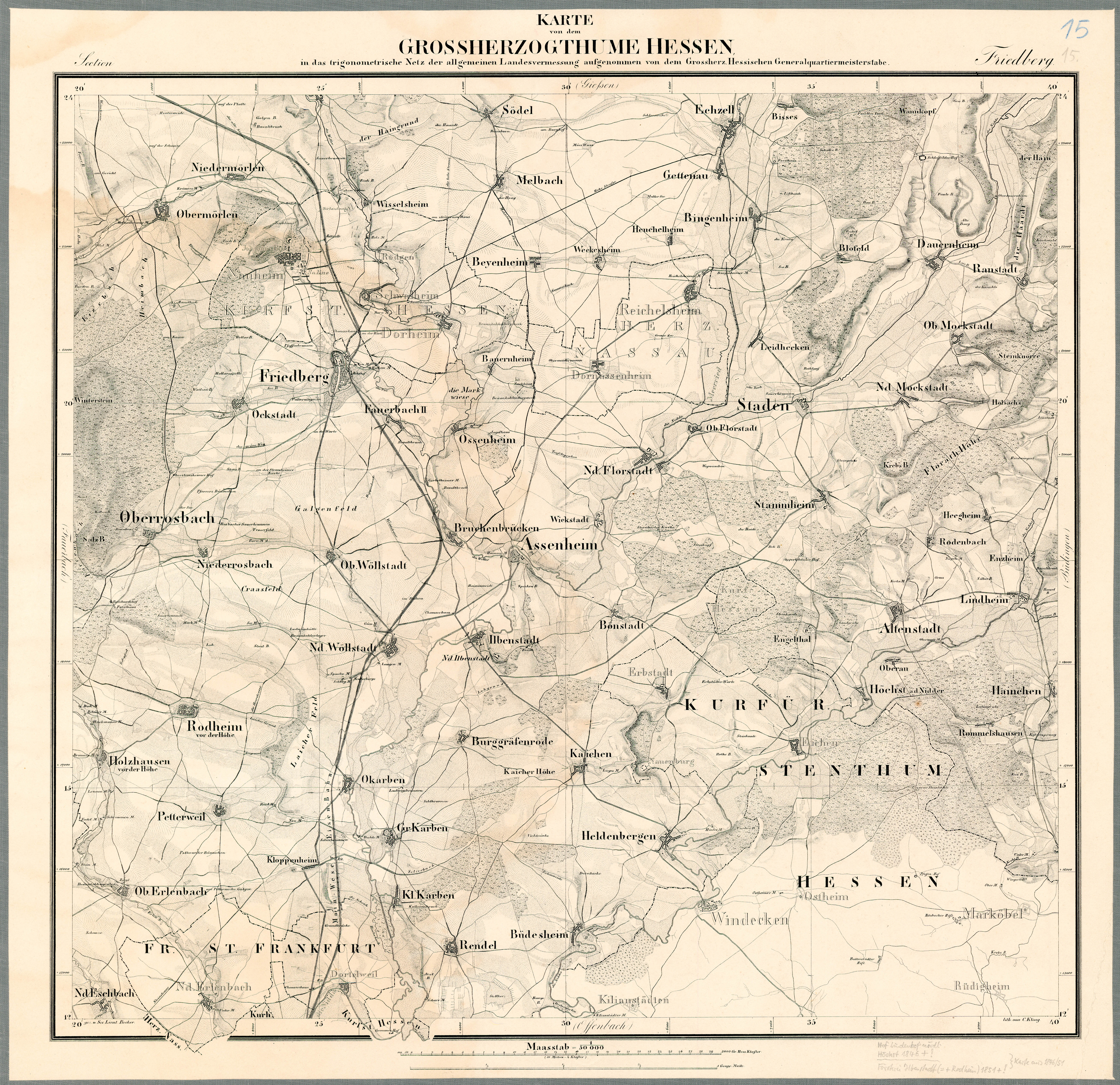
- Sheet 15. Friedberg . , Map of the Grand Duchy of Hesse 1823–1850, see Electorate of Hesse 1840–1861 - 93. Nauheim / 98. Dortelweil. Historical maps. In: Landesgeschichtliches Informationssystem Hessen (LAGIS).
- For renaturation of the gravel pit, 2014 (photo shows part of the Säckelgraben below the Galgenberg)
- Picture of the Grohborn fountain building and fence, the Säckelgraben is to the left of the path, 2012
- Säckelgraben water catchment area, 2009
- 400,000 m³ / a from Bad Nauheim's only water catchment area, 2012
- Chlorination of the recovered well water with 0.15 mg Cl 2 / l
- "Gravel pit on B 3 becomes nature reserve" by Christoph Agel, Wetterauer Zeitung, updated on December 12th, 2017
- "Gravel pit finally under nature protection" by Bernd Klühs, Wetterauer Zeitung, updated on November 18, 2019