
Safed Koh
| Safed Koh | ||
|---|---|---|
 The village of Borki in the Kurram Valley, with the Safed Koh Mountains in the background |
||
| Highest peak | Sikaram Sar ( 4755 m ) | |
| location | Lugar , Nangarhar , Paktia ( Afghanistan ), Pakistan | |
|
||
| Coordinates | 33 ° 59 ′ N , 70 ° 22 ′ E | |
| Type | Fold Mountains | |

The Safed Koh Mountains ("white mountains") or Spīn Ghar is a 4755 meter high mountain range in the border area between Afghanistan and Pakistan .
geography


The mountain range extends from the Peshawar Valley in the east about 160 km west to the Lugar Valley in Afghanistan. The Kabul Basin separates it from the foothills of the Hindu Kush in the north. The relatively low northeastern foothills of Safed Koh are broken through by Kabul, to the south of which the Khyber Pass crosses . The highest mountain is Sikaram Sar ( 4755 m ) near the Pakistani town of Parachinar in the Kurram Valley .
The mountains form the watershed between the river systems of the Kabul and the Kurram. The Surkhrud rises in the Azra district in the far east of the Lugar province on the western edge of the Safed Koh and flows east and later north through the Nangarhar province to Kabul. On the way it picks up the water of several rivers coming from the northern slope of Safed Koh. The Bara in the southeast also flows into the Kabul.
geology
The Safed Koh Mountains are part of the western fringe that separates the Indian subcontinent from the Eurasian plate.
The base of the mountains consists of Proterozoic gneisses and granites with admixtures of gabbros , mafic metavolcanic rocks, marble and migmatites . In the summit there are karst glaciers, some of which are filled with scree.
On the southern flank of the Sikaram Sar follow from 2500 m from bottom to top: alluvial soils in valleys, limestone and dolomite up to 4000 m, an intermediate zone of slate at 4000 m, above crystalline rock.
Climate and vegetation

Depending on the altitude, a distinction can be made between several levels of vegetation:
- planar-colline level: subtropical with saharo-istic flora (only in the Jalabad basin and in the Khost basin)
- lower montane level: dry forest ( Olea cuspidata and Reptonia buxifolia )
- middle montane level: oak forest (mainly Quercus baloot from about 1300 m)
- Upper montane level: coniferous forest of cedars ( Cedrus deodara ), pines ( Pinus gerardiana , Pinus wallichiana ), firs ( Abies spectabilis ), spruces ( Picea smithiana ), also oak species ( Quercus dilatata and Quercus semecarpifolia )
- subalpine level: thorn cushion and crooked wood: rhododendron and walcholder ( Juniperus nana and Juniperus squamata )
- alpine level: various, mainly Central Asian species (from about 3800 m)
However, the vegetation of the montane level was severely impaired by overgrazing by goats and the coniferous forest of the next level is also in decline. An analysis of satellite photos showed that in the provinces of Nangarhar, Kunar and Nuristan the coniferous forest has decreased by an average of 50 percent since 1978.
The mountains reach irregular monsoon rains in summer, but the maximum rainfall is usually in spring. The annual rainfall is between 400 and 1000 mm. At the German research station Kotgai, located in the coniferous forest area at an altitude of 2,450 m, an average of 568.7 mm of precipitation was measured between 1968 and 1972.
fauna
A 20,000 hectare biotope in the southwest of Safed Koh is listed as an important bird area in Afghanistan.
Agricultural and forestry use
The rivers of Safed Koh are used for the artificial irrigation of the fields in the densely populated river valleys, which allows multiple harvests in the Jalabad basin. Wheat, maize, various types of vegetables (onions, green beans, okra, tomatoes, etc.), cotton, opium poppies are grown, as well as lemons, sugar cane and olives around Jalabad. The Bara high valley in the southeast of Safid Koh is one of the most intensively used agricultural areas of the Pakistani tribal areas under federal administration (FATA).
Older reports speak of rich orchards in the valleys of Safed Koh with mulberry and pomegranate trees.
Wood from the eastern Afghan forests has been exported mainly to Pakistan since the 19th century, and that in increasingly irresponsible quantities, so that Afghanistan imposed a total export ban in 1975, which smugglers circumvented. In addition to the actual forestry, there is or has been a collection economy for pistachio nuts and the edible seeds of Pinus gerardiana .
Natural resources
In Gunday ( Lage ) and Achin ( Lage ) on the northern edge of Safed Koh there are deposits of magnesite and talc . 50,000 tons of ore have already been mined in Gunday. Talc was mined at Atschin on a non-industrial basis as early as the 1920s. Talc from the north of Safed Koh was exported to Pakistan and the United States in the 1950s.
A gypsum mine was active in the Surkh-Rod district in 1977 ( Lage ).
Other deposits in Afghanistan:
- Hezarak ( location ), chromite
- Loe-Dakka ( location ), talc and asbestos
- Shinwar ( location ), lignite
- Sperkaw ( location ), chromite and asbestos
- Tatang (Surkh-Rod, Lage ), Pegmatite
- no name ( location ), quartz
- no name (north of Sikaram Sar ), chromite
On the Pakistani side there are deposits of soapstone , limestone, iron ore and lead in the Kurram Agency , soapstone, limestone, marble, barite , quartz, graphite in the Khyber Agency and soapstone, iron ore and coal in the Orakzai Agency.
Passports


In addition to the historically significant passes Khyber Pass (1070 m) and Peiwar Pass (2596 m, about 8 km south of Sikaram Sar), a large number of other passes in the area of Safed Koh cross the border from Afghanistan to Pakistan, some of which are named are not known and which serve as smuggling routes. The most convenient route over the main ridge of Safed Koh is the Agam Pass (3586 m, location ), over which the distance from Jalalabad to Parachinar is 92 km.
The Shutur-Gardan-Pass (3306 m or 3413 m, Lage ) leads over a southwestern branch of the Safed Koh into the Logar Valley. The route from the Kurram Valley over the Peiwar and Shutur Gardan Passes was the shortest route from British India to Kabul. The British troops under Frederick Roberts used him in September 1879 during the Second Anglo-Afghan War.
history
In the course of the Second Anglo-Afghan War , the British gained control of the areas of Kurram and Khyber Pass in 1879. In 1893 the border between Afghanistan and British India (today Pakistan) was fixed by the Durand Line . It runs over the height of the Safed-Koh and cuts through the area inhabited by the Pashtuns .
Torkham on the Khyber Pass was until 2010 one of only two border crossings on the Durand Line through which foreign trade was officially permitted (the other was Spin Boldak in Kandahar Province), and 70–80 percent of official trade passed through it. In 2010, the third border crossing was opened at Ghulam Khan near Khost, and others, including those at the Kurram Agency , are planned.
In the sparsely vegetated mountains in the northern part of Safed Koh lies the Tora Bora cave complex, which at the end of 2001 served Osama bin Laden as a retreat from US troops.
Web links
Individual evidence
- ^ GeoNames
- ^ Encyclopaedia Britannica Online
- ^ John F. Shroder: Natural Resources in Afghanistan . Amsterdam et al. 2014, pp. 73–74 Preview . RG Bohanon, KJ Turner: Geologic Map, AGS Open-File Report (509/510) 2005-1107-A . RG Bohanon, KJ Turner: Geologic Map, AGS Open-File Report (511/512/517) 2005-1108-A
- ^ Siegmar W. Breckle: Ecological observations above the tree line of Safed Koh (Eastern Afghanistan) . In: Vegetatio. 30,2 (1975), pp. 89-97, here p. 93 online
- ^ Siegmar W. Breckle: Ecological observations above the tree line of Safed Koh (Eastern Afghanistan) . In: Vegetatio. 30, 2 (1975), pp. 89-97 online
- ↑ Xavier de Planhol: Afghanistan XIII. Forests and Forestry , Encyclopaedia Iranica Online
- ^ Raphy Favre et al.: Watershed Atlas of Afghanistan . Part III, Kabul 2004, p. 94 online
- ^ Raphy Favre et al.: Watershed Atlas of Afghanistan . Vol. 1, Kabul 2004, p. 23 online
- ^ Siegmar W. Breckle: Ecological observations above the tree line of Safed Koh (Eastern Afghanistan) . In: Vegetatio. 30,2 (1975), pp. 89-97, here p. 91 online
- ↑ Biodiversity Profile of Afghanistan, United Nations Environment Program, 2008 , p. 29
- ↑ See maps of irrigated areas and population density in Stephen G. Peter et al .: Summaries of Important Areas for Mineral Investment and Production Opportunities of Nonfuel Minerals in Afghanistan . 2011, pp. 1440-1441 20 B.
- ↑ David Mansfield: All Bets are Off! Prospects for (B) reaching Agreements and Drug Control in Helmand and Nangarhar in the run up to Transition ( page no longer available , search in web archives ) Info: The link was automatically marked as defective. Please check the link according to the instructions and then remove this notice. . 2013, p. 27. David Mansfield: “From Bad They Made It Worse” The concentration of opium poppy in areas of conflict in the provinces of Helmand and Nangarhar ( page no longer available , search in web archives ) Info: The link was automatically saved as marked defective. Please check the link according to the instructions and then remove this notice. . 2014
- ^ Raphy Favre et al.: Watershed Atlas of Afghanistan . Part III, Kabul 2004, p. 96 online
- ↑ Nangarhar Provincial Profile (2007) ( Memento of March 4, 2010 in the Internet Archive )
- ^ FATA Physical Features and Climate
- ^ The Imperial Gazetteer of India , 1908, vol 21, p. 349 online
- ↑ Xavier de Planhol: Afghanistan XIII. Forests and Forestry . Encyclopaedia Iranica Online
- ^ Daniel Balland: Boundaries III. Boundaries of Afghanistan . Encyclopaedia Iranica Online
- ^ Erwin Grötzbach: Afghanistan . Darmstadt 1990, p. 122
- ^ The Achin Magnesite Deposit , Afghanistan Geological Survey
- ↑ Stephen G. Peter et al .: Summaries of Important Areas for Mineral Investment and Production Opportunities of Nonfuel Minerals in Afghanistan . 2011 20 A
- ↑ GJ Orris, JD Bliss: Mines and Mineral Occurrences of Afghanistan . USGS Open-File Report 02-110, 2002, pp. 36-37
- ^ Mineral Trade Notes , 44.4 (1957), p. 34 online
- ↑ GJ Orris, JD Bliss: Mines and Mineral Occurrences of Afghanistan . USGS Open-File Report 02-110, 2002, p. 68
- ↑ GJ Orris, JD Bliss: Mines and Mineral Occurrences of Afghanistan . USGS Open-File Report 02-110, 2002
- ↑ Jeff L. Doebrich, Ronald R. Wahl: Geologic and Mineral Resource Map of Afghanistan . 2006 online
- ^ Minerals Location Map of FATA
- ^ John (Jack) Shroder: Remote Sensing and GIS as Counterterrorism Tools for Homeland Security: The case of Afghanistan. In: Daniel Z. Sui (Ed.): Geospatial Technologies and Homeland Security. Research Frontiers and Future Challenges . 2008 (GeoJournal Library 94). Pp. 11–33, here pp. 22–23 online
- ↑ Ludwig W. Adamec (Ed.): Historical and political gazetteer of Afghanistan . Vol. 6, Graz 1985, p. 16 online
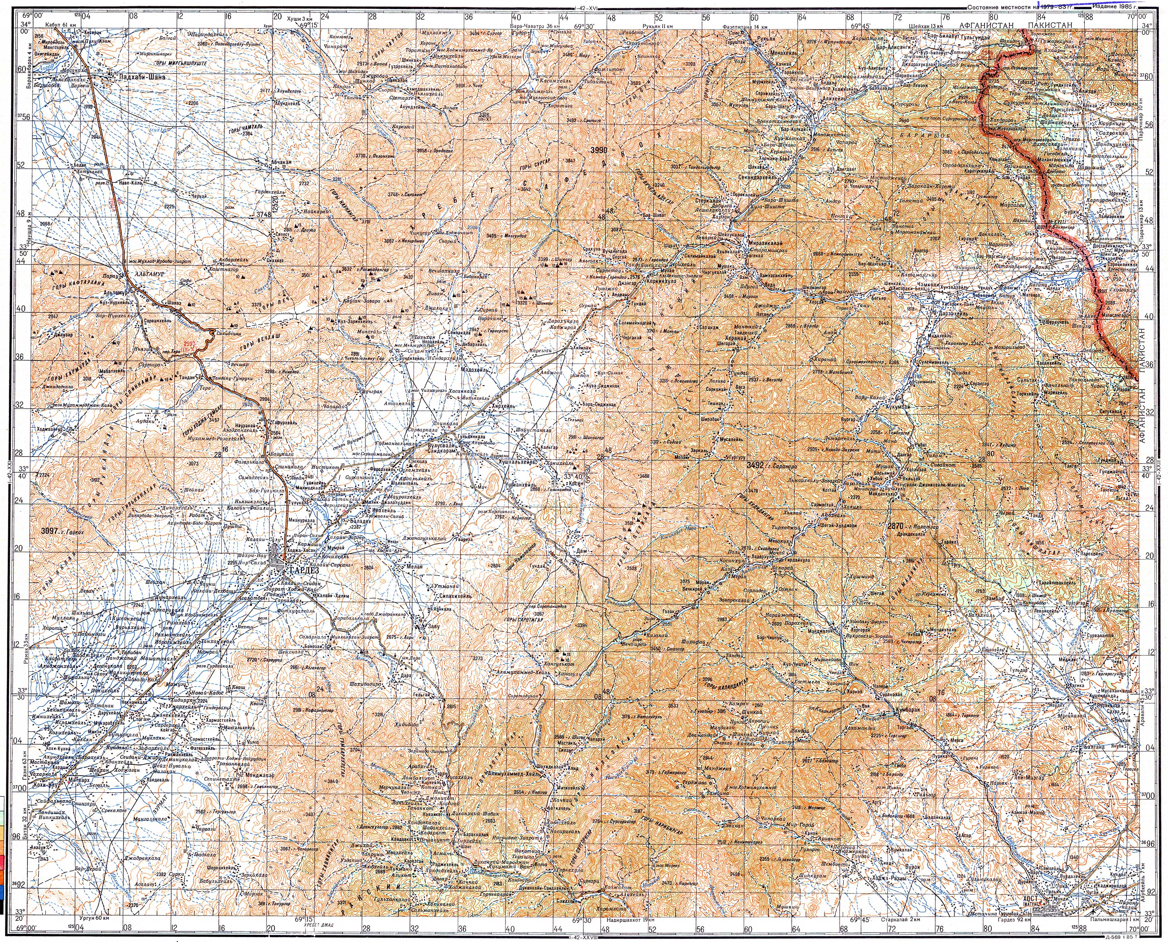
- ^ Soviet map of Area 1: 200,000 from 1985
- ↑ Ludwig W. Adamec (Ed.): Historical and political gazetteer of Afghanistan . Vol. 6, Graz 1985, pp. 750-751 online
- ^ Archibald Forbes: The Afghan Wars . London 1892, p. 190 online
- ^ Conrad Schelter: Brief history of Afghanistan. 3rd edition, Munich 2010, p. 66. Preview
- ↑ Daniel Balland:Boundaries iii. Boundaries of Afghanistan . Iranica Online . Volume 4, 2000
- ↑ Zarwali Khoshnood, Moeen Mandokhiel: Af-Pak 2014: stalemate checkpoint . Afghanistan Today November 7, 2014