Tobi (island)
| Tobi | ||
|---|---|---|
| Northwest coast of Tobi | ||
| Waters | Pacific Ocean | |
| Geographical location | 3 ° 0 '20 " N , 131 ° 7' 25" E | |
|
|
||
| length | 1.2 km | |
| width | 700 m | |
| surface | 60 ha | |
| Highest elevation | 3 m | |
| Residents | 20th (2000) 33 inhabitants / km² |
|
| main place | Hatohobei | |
| Satellite image | ||
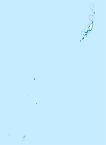
Tobi , also known as Hatohobei or Kodgubi , is a small, remote island in the western Pacific . The island with a land area of 0.6 km² is lush with coconut palms ( Cocos nucifera ) and surrounded by a dense coral reef .
Together with the Helen Reef about 75 km to the east , a large uninhabited atoll , Tobi forms the Palauian state of Hatohobei , whose capital of the same name is located on the southwest coast of the island of Tobi. The state of Hatohobei is the southernmost administrative area of the island republic of Palau, the village of Hatohobei on Tobi is therefore Palau's southernmost settlement.
history
Tobi was part of the German New Guinea colony from 1901 until the First World War .
Individual evidence
- ↑ Tobi , in: Heinrich Schnee (Ed.): German Colonial Lexicon . Volume III, Quelle & Meyer, Leipzig 1920, p. 496.
Web links
- For more information about the island (English)


