
Dam Chu (Qinghai)
|
Dam Chu Dam Qu, Dang Qu, Akdam |
||
.jpg) The source fluid of the Yangtze River, in the southeast of the Dam Chu |
||
| Data | ||
| location | Circle zadoi county , Yushu , Qinghai ( China ) | |
| River system | Yangtze River | |
| Drain over | Tongtian He → Jinsha Jiang → Chuan Jiang → Yangzi Jiang → East China Sea | |
| Headwaters | in the east of Xiasheriaba Shan 32 ° 52 '55 " N , 94 ° 1' 3" O |
|
| confluence | with Tuotuo He to Tongtian He Coordinates: 34 ° 5 ′ 32 " N , 92 ° 54 ′ 47" E 34 ° 5 ′ 32 " N , 92 ° 54 ′ 47" E
|
|
| length | 357 km | |
| Catchment area | 30,200 km² | |
| Tibetan name |
|---|
|
Tibetan script :
འདམ་ ཆུ
|
|
Wylie transliteration : 'dam chu
|
|
Other spellings: Dangqu River
|
| Chinese name |
|
Simplified :
当 曲
|
|
Pinyin : Dāngqū
|
The Dam Chu or Dam Qu is a river in the Yangtze River headwaters in the highlands of Tibet in the area of Zadoi , Yushu , in the southwest of the Chinese province of Qinghai . It is the southern of the three headwaters of the Yangtze River .
course
It rises in the east of the Xiasheriaba Shan ( 霞 舍 日 阿巴 山 ), an eastern branch of the Tanggula Shan , as one of numerous streams. In the north of the source area, the streams flow together, and the resulting flux flows in a north-westerly direction until it at 33 ° 57 ' N , 92 ° 43' O the left coming Bu Qu ( 布曲 receives), turns to the northeast and shortly afterwards united with the Tuotuo He to the Tongtian He . The Dam Chu has a length of 357 km and a catchment area of 30,200 square kilometers.
Of the three major source rivers of the Yangtze, it is the richest in water.
Mörön Us
The stretch from the confluence of the Bu Qu to the Tongtian He has only recently been considered part of the Dam Chu. Before that, Bu Qu and Dam Chu were considered tributaries of a river called Mörön Us ( Chinese 木 鲁乌苏 河 , Pinyin Muluwusu He , Cyrillic Маруй-Ус (Maruj-Us) or Дечу (Deču) ), whose upper course is the Gar Qu ( 尕 尔曲 ) and which at that time in parts of the inclusion of Bu Qu and Dam Chu ( Akdam , W.-G. A-ko-ta-mu ch'ü called) in the Ulaan Mörön (Kyr. Улан-Мурэн (Ulan Murèn) ), which consists of the Tuotuo He and the upper reaches of the Tongtian He up to the confluence of the Chumar . On other maps, the Mu-lu-wu-su Ho continues to the Chumar, and the Tuotuo He is already called T'o-t'o Ho.
literature
- Cihai ("Sea of Words"), Shanghai cishu chubanshe, Shanghai 2002, ISBN 7-5326-0839-5
Web links
- 源头 支流 与 "小 金沙江" - Chinese
References and footnotes
- ↑ a b c Cihai , p. 294
- ↑ a b Bertelsmann House Atlas. Bertelsmann Verlag, Gütersloh 1960
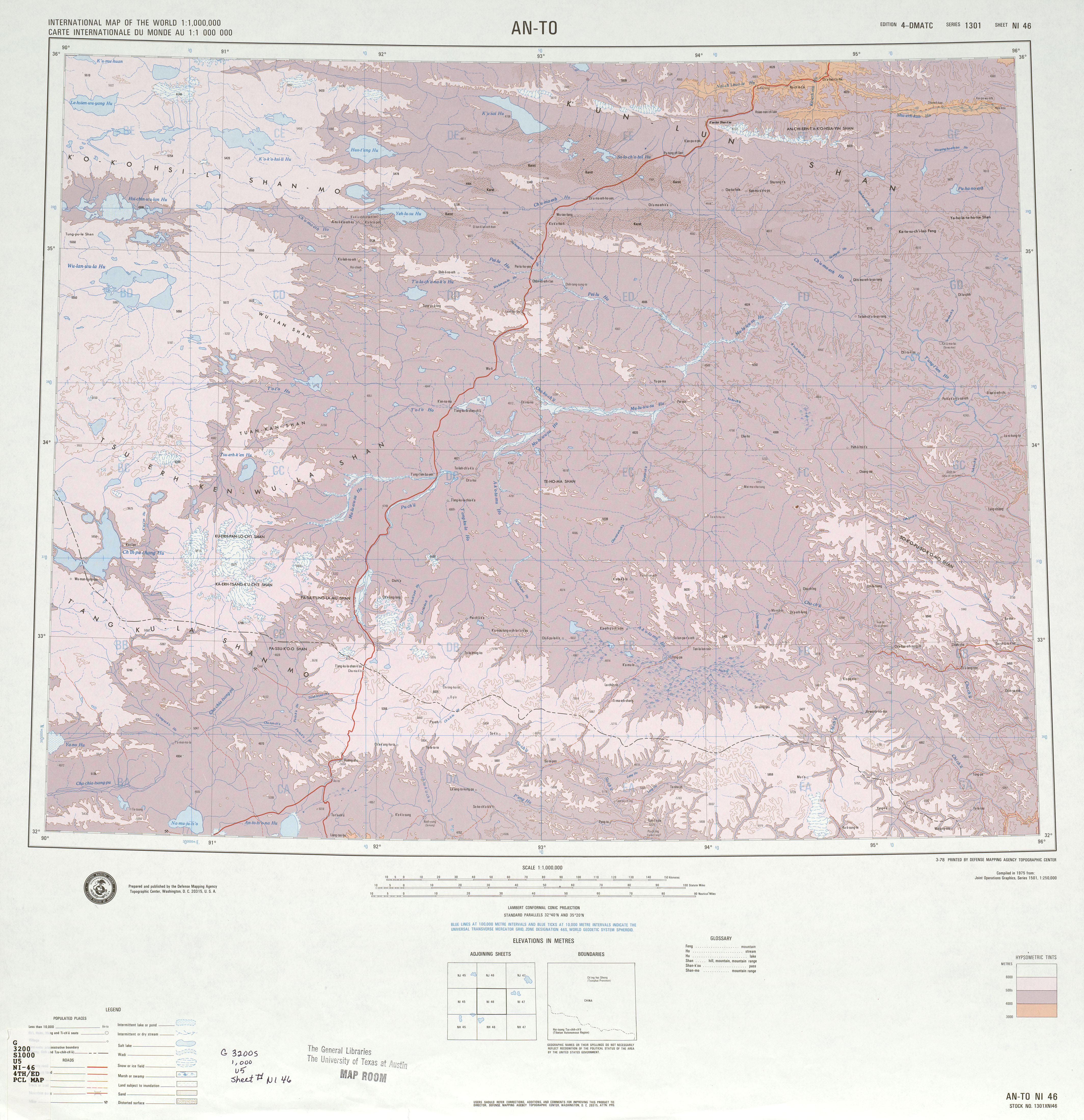
- ↑ a b c Soviet General Staff Map, sheet I 46, accessed from http://www.topomapper.com/
- ↑ a b US Army Map Service: International Map of the World , sheet NI 46 "An-to"
Footnotes