
Gorontalo
| Gorontalo | |
|---|---|
 |
|
| Basic data | |
| Area : | 11,257 km² |
| Residents : | 1,185,685 |
| Population density : | 105 inhabitants / km² |
| Capital : | Kota Gorontalo |
| governor | Rusli Habibie |
| Location in Indonesia | |
  |
|
| Website : | www.gorontaloprov.go.id |

Gorontalo is one of the six Indonesian provinces on the island of Sulawesi . It is located on the northeastern peninsula and borders Sulawesi Utara in the east and Sulawesi Tengah in the west . In terms of area, it is the smallest province on the island and has a share of 6.44 percent. It ranks 29th among the 34 Indonesian provinces. There are 123 islands in the province.
The provincial capital also bears the name Gorontalo , is located in the east of the province and has around 200,000 inhabitants (around 17% of the province).
Administrative division
Gorontalo consists of five administrative districts ( Kabupaten ) and one city ( Kota ).
| coat of arms | Kabupaten / Kota administrative district / city |
Seat of government | location | Kecamatan districts |
Kelurahan / Desa communities |
Area [km²] | Population (2019) | Inhabitants / km² (2019) |
|---|---|---|---|---|---|---|---|---|
 |
Boalemo | Tilamuta |  |
7th | - / 82 | 1,521.88 | 147,682 | 97.0 |
 |
Bone Bolango | Suwawa |  |
18th | 5/160 | 1,984.31 | 165.334 | 83.3 |
 |
Gorontalo | Limboto |  |
19th | 14/191 | 1,750.83 | 399,443 | 228.1 |
 |
Gorontalo Utara | Kwandang |  |
11 | - / 123 | 1,676.15 | 125,768 | 75.0 |
 |
Pohuwato | Marisa |  |
13 | 3/101 | 4,244.31 | 146,900 | 34.6 |
 |
Kota Gorontalo |  |
9 | 50 / - | 79.59 | 200,558 | 2,519.9 | |
| Provinsi Gorontalo | Gorontalo | 77 | 72/657 | 11,257.07 | 1,185,685 | 105.3 | ||
Source of the administrative and area data: Peraturan Menteri Dalam Negeri RI Nomor 72 Tahun 2019 (Ordinance of the Minister of the Interior of October 2019):
The population data are based on updates by the regional civil registration offices and are from the end of 2019
population
With a share of 5.88 percent, the province is also the island's least populous. It ranks 32nd among all 34 provinces in Indonesia.
The population mainly belongs to the Gorontalo people and professes Islam (98.02%). There are also about 1.47% Christians (17,393 Protestants and 1,047 Catholics), 4,030 Hindus (0.34%), 969 Buddhists (0.08%) and an indefinite number of animists, which should not be underestimated.
718 languages are spoken in Indonesia, 62 languages are spoken on the island of Sulawesi, according to Bahasa dan Peta Bahasa di Indonesia, of which three are Gorontalo: Bajo (in the west of the Pahuwato administrative district), Minahasa (in the east of the Gorontalo administrative district) and Gorontalo for the most part the province.
history
Spanish and Portuguese spice traders arrived in the region in the 16th century. In the struggle for supremacy, Gorontalo came under the influence of the Sultanate of Ternate (on the Moluccas ) and was Islamized around 1600. The Dutch arrived in the 17th century , but it was not until the 19th century that the whole island was under their rule. After the Japanese occupation in World War II , Indonesia gained independence in 1949 and Gorontalo became a part of that state, initially as part of the Sulawesi Utara Province . On the basis of Law No. 38 from 2000, three administrative districts ( Gorontalo and Boalemo administrative districts and the city of Gorontalo) were separated from there and have since formed a separate province. In 2003 ( Bone Bolango and Pohuwato ) and 2007 ( Gorontalo Utara ) three further administrative districts were created by separating them from the existing ones.
economy
The province is largely agricultural. Among other things, palm oil , cloves , coconuts , cocoa and sugar cane are produced , and there is fishing on the coasts.
tourism
Tourism is not very developed, the province advertises especially with diving holidays. The port of Gorontalo City is the starting point for the (diving) touristically interesting Togian Islands , as well as to Pagimana on the eastern arm of Sulawesi with connections over land to Luwuk , Ampana , Poso , Palu and the south of the island.
literature
- Gorontalo Dalam Angka 2012, Badan Pusat Statistics Provinsi Gorontalo ( E-Book, Indonesian / English )
Web links
- E-books on the statistics page of the province (BPS - Badan Pusat Statistics Provinsi Gorontalo) (Indonesian / English)
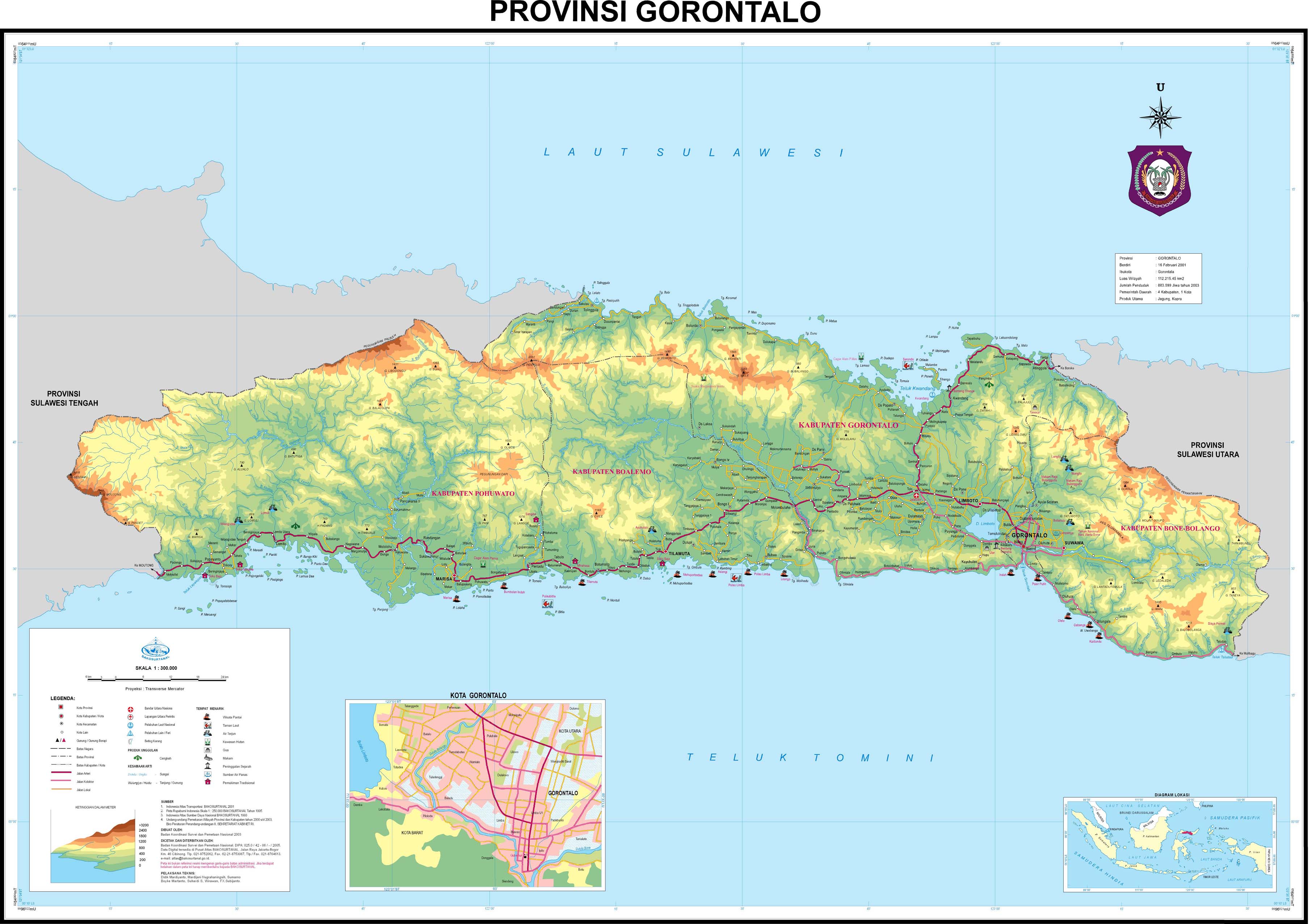
- Topographic map of the province 1: 300,000
Individual evidence
- ↑ Peraturan Menteri Dalam Negeri RI Nomor 72 Tahun 2019: page 6, 3279
- ↑ Visualisasi Data Kependudukan , clickable map
- ↑ Directorate Jenderal Kependudukan dan Pencatatan Sipil - Kementerian Dalam Negeri - Peta Persebaran Agama - Provinsi 2019 , clickable map
- ↑ Bahasa di Provinsi Gorontalo ( Indonesian ) petabahasa.kemdikbud.go.id. Accessed June 1, 2020.
- ↑ UU No.38 TH 2000 of December 22, 2000
- ↑ UU No.6 TH 2003 from February 25, 2003
- ↑ UU No.11 TH 2007 from January 2, 2007
Aceh | Bali | Bangka Belitung | Banten | Bengkulu | Gorontalo | Jakarta | Jambi | Jawa Barat | Jawa Tengah | East Java | Kalimantan Barat | Kalimantan Selatan | Kalimantan Tengah | Kalimantan Timur | Kalimantan Utara | Lampung | Maluku | Maluku Utara | Nusa Tenggara Barat | Nusa Tenggara Timur | Papua | Papua Barat | Riau | Kepulauan Riau | Sulawesi Barat | Sulawesi Selatan | Sulawesi Tengah | Sulawesi Tenggara | Sulawesi Utara | Sumatra Barat | Sumatra Selatan | Sumatra Utara | Yogyakarta
Coordinates: 0 ° 36 ' N , 123 ° 0' E