Sanda
| Sanda-shi 三 田 市 |
||
|---|---|---|
| Geographical location in Japan | ||
|
|
||
| Region : | Kinki | |
| Prefecture : | Hyogo | |
| Coordinates : | 34 ° 53 ' N , 135 ° 14' E | |
| Basic data | ||
| Surface: | 210.22 km² | |
| Residents : | 110,820 (October 1, 2019) |
|
| Population density : | 527 inhabitants per km² | |
| Community key : | 28219-7 | |
| Symbols | ||
| Flag / coat of arms: | ||
| Tree : | Japanese red pine | |
| Flower : | Rhododendron indicum | |
| Bird : | Colored pheasant | |
| town hall | ||
| Address : |
Sanda City Hall 2 - 1 - 1 , Miwa Sanda shi Hyogo 669-1595 |
|
| Website URL: | http://www.city.sanda.lg.jp/ | |
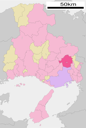
| Location Sandas in Hyogo Prefecture | ||
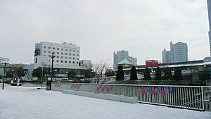
Sanda ( Japanese 三 田 市 , - shi ) is a city in Hyōgo prefecture in Japan . It is located about 25 kilometers north of Kobe and west of Takarazuka .
history
Sanda belonged to the Akamatsu from Harima Province, later to the Arima, a branch of the Akamatsu. When these were transferred to the province of Chikugo, Sanda came under the Matsudaira in 1620. From 1633 to 1868 the Kuki resided there in a permanent house ( jinya ) with an income of 36,000 koku .
Sanda received city status on July 1, 1958 .
traffic
- Street
- Chūgoku Highway
- National Road 176
- train
Neighboring cities and communities
Personalities
- Ataru Esaka (* 1992), soccer player
- Tomoya Takahata (* 1994), football player
literature
- Papinot, Edmond: Historical and Geographical Dictionary of Japan. Reprinted by Tuttle, 1972 edition of 1910 edition. ISBN 0-8048-0996-8 .
Web links
Commons : Sanda - collection of images, videos and audio files


