
Seloi Craic
| Seloi Craic | |||

|
|||

|
|||
| Data | |||
| surface | 43.36 km² | ||
| population | 3,585 (2015) | ||
| Chefe de Suco | Gabriel (election 2016) |
||
| Aldeias | Population (2015) | ||
| Casamou | 559 | ||
| Colihoho | 284 | ||
| Fatumans | 176 | ||
| Faularan | 411 | ||
| Halameta | 331 | ||
| Leobraudu | 43 | ||
| Lio | 398 | ||
| Raicoalefa | 454 | ||
| Tabulasi | 412 | ||
| Talifurleu | 517 | ||
|
|||

Seloi Craic ( Seloi Kraik , German "Unter-Seloi" ) is an East Timorese Suco in the administrative office of Aileu ( municipality of Aileu ).
geography
| Seloi Craic | ||
| places | position | height |
| Aibitikeou | 8 ° 42 ′ S , 125 ° 32 ′ E | 1073 m |
| Aimera Hun | 8 ° 44 ′ S , 125 ° 29 ′ E | ? |
| Casamou | 8 ° 43 ′ S , 125 ° 31 ′ E | ? |
| Darhai Casamou | 8 ° 41 ′ S , 125 ° 33 ′ E | 1020 m |
| Fateran | 8 ° 41 ′ S , 125 ° 33 ′ E | 1001 m |
| Halameta | 8 ° 43 ′ S , 125 ° 29 ′ E | 1206 m |
| Kotbauru | 8 ° 43 ′ S , 125 ° 32 ′ E | 1213 m |
| Lidulalan | 8 ° 42 ′ S , 125 ° 32 ′ E | 1133 m |
| Lio | 8 ° 43 ′ S , 125 ° 31 ′ E | ? |
| Mautobalau | 8 ° 43 ′ S , 125 ° 29 ′ E | 1206 m |
| Poalete | 8 ° 44 ′ S , 125 ° 29 ′ E | 1112 m |
| Raicoalefa | 8 ° 42 ′ S , 125 ° 32 ′ E | 1160 m |
| Sarlala | 8 ° 40 ′ S , 125 ° 33 ′ E | 1067 m |
| Siliboro | 8 ° 42 ′ S , 125 ° 32 ′ E | 1235 m |
Before the territorial reform in 2015, Seloi Craic had an area of 36.87 km². Now there are 43.36 km². The Suco Seloi Craic is located in the northwest of the administrative office of Aileu. To the south are the sucos Hoholau and Liurai and to the east are the sucos Seloi Malere and Aissirimou . In the north, Seloi Craic borders on the Laulara administrative office with its Sucos Madabeno , Tohumeta and Fatisi and in the west on the administrative offices of Railaco (Sucos Samalete , Railaco Leten , Railaco Craic and Fatuquero ) and Ermera (Suco Lauala ) belonging to the municipality of Ermera . The border with Hoholau is formed by the Olomasi River , part of the border with Railaco Craic is followed by the Aileu River , which, like the Olomasi, flows into the Gleno River on the border with Fatisi . The Gleno flows along the border with Lauala. The rivers are part of the Lóis system . In the center of Sucos lies Lago Seloi ( Seloi Lake ).
In the north, three highways meet at the village of Darhai . On the road to Dili is the village of Sarlala and a little to the west the village of Fateran . Aibitikeou , Raicoalefa ( Rekoalepa ) and Lidulalan are on the road to Gleno . The road to Maubisse leaves the Suco to Seloi Malere towards the south. In the center of Seloi Craic are the villages of Kotbauru , Siliboro , Casamou ( Casemu ) and Lio , with a temporary lake in between during the rainy season. In the extreme southwest are the places Mautobalau , Halameta ( Halalmeta ), Poalete and Aimera Hun . In Lio there is a medical station and a primary school, the Escola Primaria No. 2 . Another primary school is in Sarlala.
In the Suco there are the ten Aldeias Casamou , Colihoho , Fatumane , Faularan , Halameta , Leobraudu , Lio , Raicoalefa , Tabulasi and Talifurleu .
Residents

The Suco has 3585 inhabitants (2015), of which 1905 are men and 1680 are women. The population density is 82.7 inhabitants / km². There are 550 households in the Suco. Over 72% of the population name Tetum Prasa as their mother tongue. Over 26% speak Mambai and a minority speak Tetum Terik .
politics
In the 2004/2005 elections , Manuel Quintão was elected Chefe de Suco. José Domingos won Pica in the 2009 elections and Gabriel won in 2016 .
Web links
- Results of the 2010 census for the Suco Seloi Craic ( tetum ; PDF; 8.3 MB)
- Results of the 2015 census for the Suco Seloi Craic (tetum; PDF)
- Seeds of Life: Suco information sheets Aileu Vila (tetum)
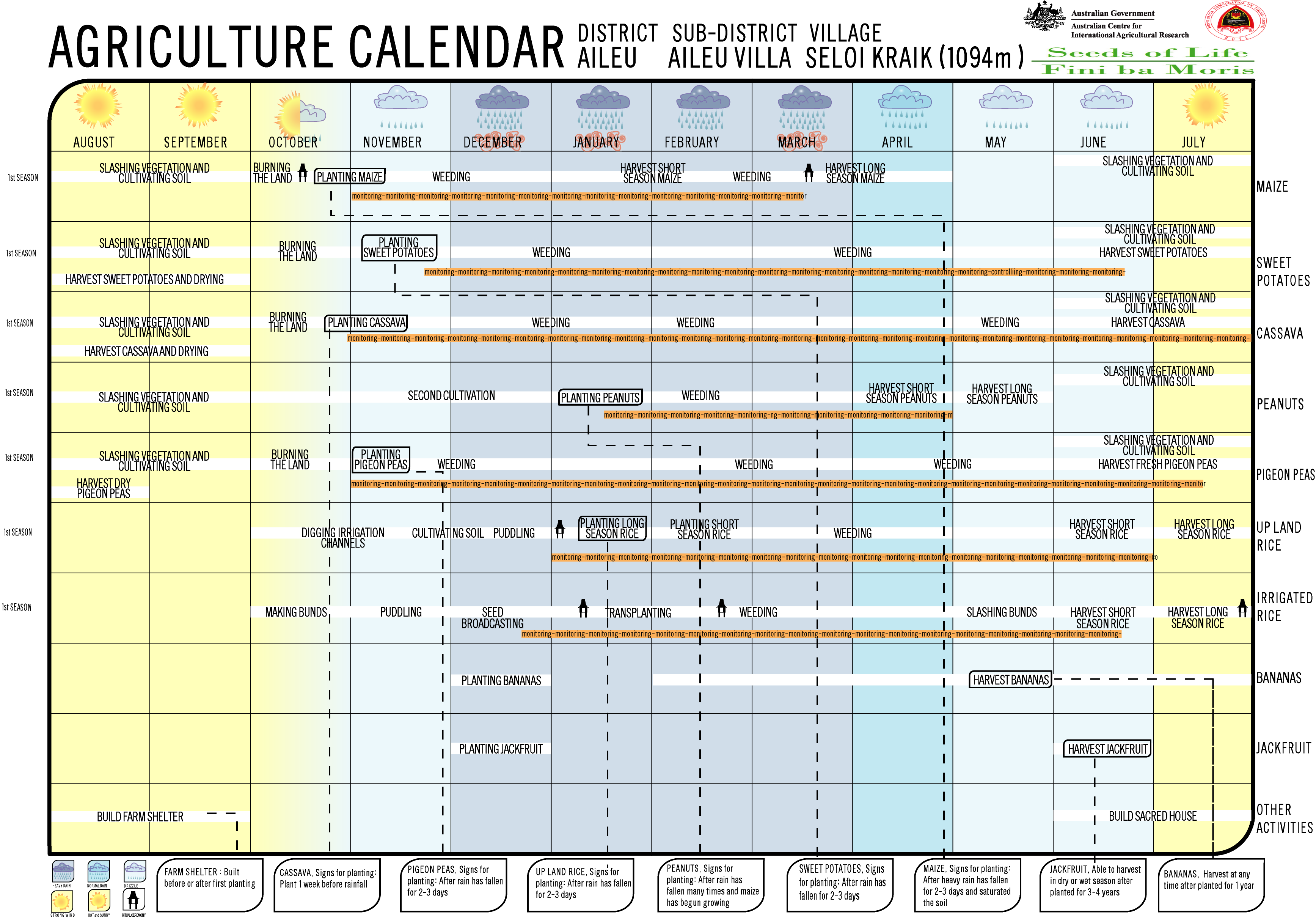
- Seeds of Life: Agriculture Calendar (English)
Individual evidence
- ↑ a b c d Direcção-Geral de Estatística : Results of the 2015 census , accessed on November 23, 2016.
- ↑ Fallingrain.com: Directory of Cities, Towns, and Regions in East Timor
- ↑ Direcção Nacional de Estatística: Population Distribution by Administrative Areas Volume 2 English ( Memento of the original from January 5, 2017 in the Internet Archive ) Info: The archive link has been inserted automatically and has not yet been checked. Please check the original and archive link according to the instructions and then remove this notice. (2010 census; PDF; 22.6 MB)
- ^ Timor-Leste GIS-Portal ( Memento from June 30, 2007 in the Internet Archive )
- ↑ List of polling stations for the parliamentary elections in East Timor 2007 (PDF file; 118 kB)
- ↑ UNMIT: Timor-Leste District Atlas version 02, August 2008 ( Memento of the original from December 3, 2011 in the Internet Archive ) Info: The archive link has been inserted automatically and has not yet been checked. Please check the original and archive link according to the instructions and then remove this notice. (PDF; 530 kB)
- ↑ Jornal da Républica with the Diploma Ministerial n. 199/09 ( Memento of February 3, 2010 in the Internet Archive ) (Portuguese; PDF; 323 kB)
- ↑ Results of the 2010 census for the Suco Seloi Craic ( tetum ; PDF; 8.3 MB)
- ↑ Secretariado Técnico de Administração Eleitoral STAE: Eleições para Liderança Comunitária 2004/2005 - Resultados ( Memento of August 4, 2010 in the Internet Archive )
- ↑ Secretariado Técnico de Administração Eleitoral STAE: Eleições para Liderança Comunitária 2009 - Resultados ( Memento of August 4, 2010 in the Internet Archive )
- ↑ Jornal da República: Lista Naran Xefe Suku Eleito 2016 , December 2, 2016 , accessed on June 17, 2020.
Aissirimou | Bandudato | Fahiria | Fatubossa | Hoholau | Lahae | Lausi | Lequitura | Liurai | Saboria | Seloi Craic | Seloi Paintings
![]() Map with all coordinates: OSM | WikiMap
Map with all coordinates: OSM | WikiMap
The administrative borders within East Timor changed in 2015. This article must therefore be checked and updated if necessary. See New Administrative Boundaries .