
Holowne
| Holowne | |||
| Головне́ | |||

|
|
||
| Basic data | |||
|---|---|---|---|
| Oblast : | Volyn Oblast | ||
| Rajon : | Lyuboml district | ||
| Height : | 205 m | ||
| Area : | 6.03 km² | ||
| Residents : | 3,055 (2011) | ||
| Population density : | 507 inhabitants per km² | ||
| Postcodes : | 44323 | ||
| Area code : | +380 3377 | ||
| Geographic location : | 51 ° 20 ' N , 24 ° 5' E | ||
| KOATUU : | 0723355300 | ||
| Administrative structure : | 1 urban-type settlement , 9 villages | ||
| Mayor : | Mykola Demedjuk | ||
| Address: | вул. Лесі Українки 2 44323 смт. Головне |
||
| Statistical information | |||
|
|||


Holowne (Ukrainian Головне́ ; Russian Головно / Golowno , Polish Hołowno ) is an urban-type settlement in Ukraine with about 3000 inhabitants.

location
It lies in the Oblast Volyn in Liuboml Raion . The Rajonszentrum Ljuboml is about 14 kilometers southeast, the Oblast capital Lutsk about 109 kilometers southeast. The Polish border runs around 35 kilometers to the west.
On July 7, 2017, the city became the center of the newly founded settlement community Holowne (Ukrainian Головненська селищна громада / Holownenska selyschtschna hromada ). At that include also the nine villages Humenzi (Гуменці) Jasne (Ясне) Kruschynez (Крушинець) Maslowez (Масловець) Mschanez (Мшанець) Nudysche (Нудиже) Sabolottja (Заболоття) Skrypyzja (Скрипиця) and Tscheremoschna Volya (Черемошна Воля), until then the settlement together with the villages of Jasne , Maslowez and Skrypyzja formed the settlement council of the same name.
history
The place was mentioned in writing for the first time around 1510 and was known as Hołowno until 1795 as part of the aristocratic republic of Poland-Lithuania , in the Ruthenian / Chełmer Land voivodeship . Then it came to the newly founded Volhynia Governorate as part of the Russian Empire . After the end of the First World War, the place became part of the Second Polish Republic ( Volyn Voivodeship , Powiat Luboml, Gmina Hołowno). As a result of the Hitler-Stalin Pact , the Soviet Union occupied the area. After the German attack on the Soviet Union in 1941, the place was under German rule until 1944, then came back to the Soviet Union after the Second World War and was incorporated into the Ukrainian SSR . Since 1957 the place has the status of an urban-type settlement, in 1991 the settlement was part of the newly formed Ukraine.
Between 1940 and 1962 the place was the Rajonszentrum of the Rajon Holovne , this emerged from the Rajon Shorany Rajon , which was created in the same year , and became part of the Lyuboml Rajon at the end of 1962.
Web links
- Hołowno . In: Filip Sulimierski, Władysław Walewski (eds.): Słownik geograficzny Królestwa Polskiego i innych krajów słowiańskich . tape 3 : Haag – Kępy . Sulimierskiego and Walewskiego, Warsaw 1882, p. 112 (Polish, edu.pl ).
Individual evidence
- ↑ Відповідно до Закону України "Про добровільне об'єднання територіальних громад" у Волинській області у Любомльському районі Головненська селищна, Заболоттівська та Нудиженська сільські ради рішеннями від 6 і 7 липня 2017
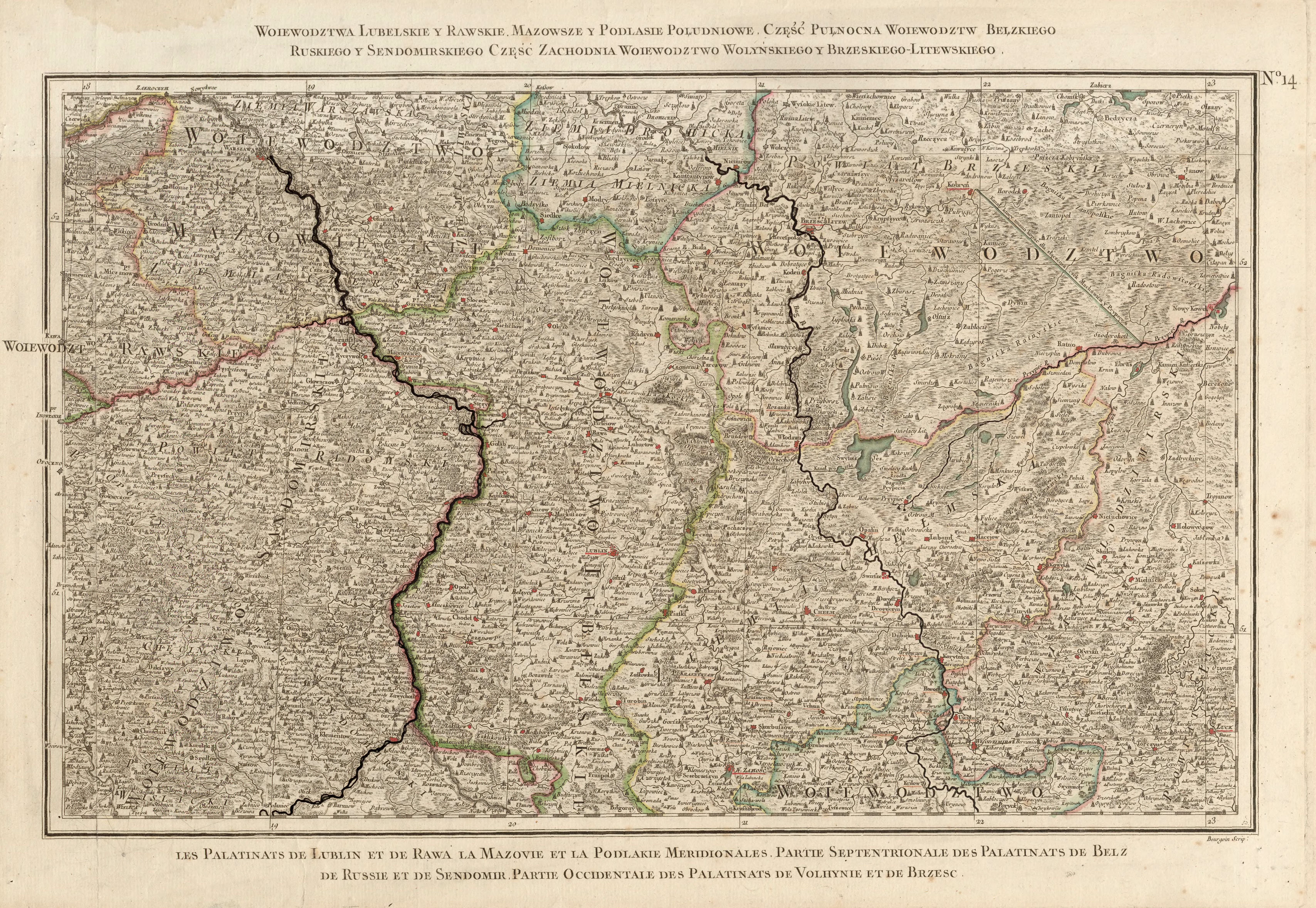
- ↑ Rizzi Zannoni, Woiewództwa Lubelskie y Rawskie. Mazowsze y Podlasie Południowe. Część Pułnocna Woiewództw Bełzkiego, Ruskiego y Sendomirskiego, część zachodnia Województwo (!) Wolyńskiego y Brzeskiego - Litewskiego .; 1772
Cities: Berestechko | Horochiw | Kamin-Kaschyrskyj | Kiwerzi | Kovel | Lyuboml | Lutsk | Novovolynsk | Roschyshche | Volodymyr-Wolynskyi | Ustyluh . Urban-type settlements: Blahodatne | Dubyshche | Holoby | Holowne | Ivanychi | Kolky | Lokatschi | Lukiw | Lyubeshiv | Ljublynez | Manevychi | Marjanivka | Olyka | Ratne | Rokyni | Sabolottja | Schazk | Senkevychivka | Stara Vyshivka | Tortschyn | Turiysk | Zuman .