
Holoby
| Holoby | |||
| Голоби | |||

|
|
||
| Basic data | |||
|---|---|---|---|
| Oblast : | Volyn Oblast | ||
| Rajon : | Kovel district | ||
| Height : | 185 m | ||
| Area : | 0.57 km² | ||
| Residents : | 4,131 (2011) | ||
| Population density : | 7,247 inhabitants per km² | ||
| Postcodes : | 45070 | ||
| Area code : | +380 3352 | ||
| Geographic location : | 51 ° 5 ' N , 25 ° 1' E | ||
| KOATUU : | 0722155300 | ||
| Administrative structure : | 1 urban-type settlement , 22 villages | ||
| Mayor : | Serhiy Harbaruk | ||
| Address: | вул. Ковельська 1 45070 смт. Голоби |
||
| Statistical information | |||
|
|||


Holoby ( Ukrainian Голоби ; Russian Голобы Goloby , Polish Hołoby ) is an urban-type settlement in Ukraine with about 4,100 inhabitants. It is located in Volyn Oblast in Kovel Raion , the Kovel Raion Center is located about 26 kilometers northwest, the Oblast capital Lutsk about 43 kilometers southeast.
.jpg)
On April 17, 2016, the settlement became the center of the newly established settlement community Holoby ( Голобська селищна громада Holobska selyschtschna hromada ). At that includes also the 22 villages Bajkiwzi ( Байківці ) Byten ( Битень ) Borschtschiwka ( Борщівка ) Bruchowytschi ( Бруховичі ) Dariwka ( Дарівка ) Dibrova ( Діброва ) Kalynownyk ( Калиновник ) Majdan ( Майдан ), Maly Porsk ( Малий Порськ ) Marianivka ( Мар'янівка ) Nowyj Mossyr ( Новий Мосир ) Nuschel ( Нужель ) Partysanske ( Партизанське ) Pohinky ( Погіньки ) Popowytschi ( Поповичі ) Radoschyn ( Радошин ) Schmudtsche ( Жмудче ) Swydnyky ( Свидники ) Solotvyn ( Солотвин ) Staryj Mossyr ( Старий Мосир ) Velyky Porsk ( Великий Порськ ) and Wiwtschyzk ( Вівчицьк ), previously formed the settlement along with the villages Bruchowytschi , Kalynownyk , Nuschel , Pohinky and Wiwtschyzk the same settlement Council community .
history
The place was written for the first time in the 16th century and was called Hołoby until 1795 as part of the aristocratic republic of Poland-Lithuania in the Volhynian Voivodeship . Then it came to the newly founded Volhynia Governorate as part of the Russian Empire . After the end of the First World War, the place became part of the Second Polish Republic ( Volhynia Voivodeship , Powiat Kowel, Gmina Hołoby). As a result of the Hitler-Stalin Pact , the Soviet Union occupied the area. After the German attack on the Soviet Union in 1941, the place was under German rule until 1944, then came back to the Soviet Union after the Second World War and was incorporated into the Ukrainian SSR . Since 1957 the place has the status of an urban-type settlement, in 1991 the settlement was part of the newly formed Ukraine.
The station, located southwest of the town center, was built in 1873 during the construction of the railway from Kovel to Sdolbuniw (today the Kovel – Kosjatyn railway ) and significantly boosted the development of the village.
Web links
- Hołoby . In: Filip Sulimierski, Władysław Walewski (eds.): Słownik geograficzny Królestwa Polskiego i innych krajów słowiańskich . tape 3 : Haag – Kępy . Sulimierskiego and Walewskiego, Warsaw 1882, p. 105 (Polish, edu.pl ).
Individual evidence
- ↑ Волинська обласна рада рішенням від 14 серпня 2015 року утворила об'єднані територіальні громади Коймаво Коймади Кроймади Кроймавелу коймавелу
- ↑ Відповідно до Закону України "Про добровільне об'єднання територіальних громад" у Волинській області у Ковельському районі Радошинська сільська рада рішенням від 20 липня 2017 року після надання згоди Голобською селищною радою Голобської селищної територіальної громади рішенням від 20 червня 2017
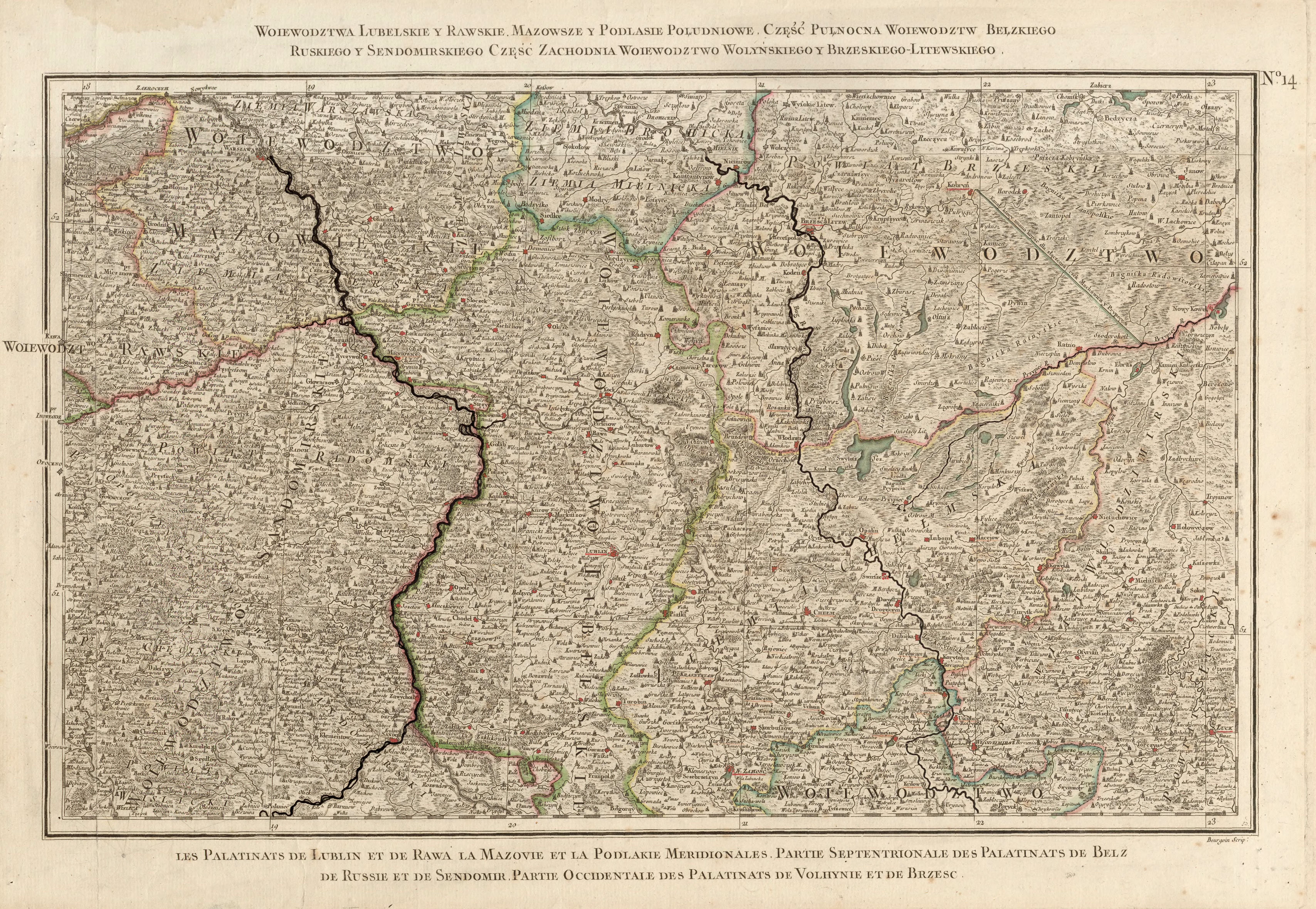
- ↑ Rizzi Zannoni, Woiewództwa Lubelskie y Rawskie. Mazowsze y Podlasie Południowe. Część Pułnocna Woiewództw Bełzkiego, Ruskiego y Sendomirskiego, część zachodnia Województwo (!) Wolyńskiego y Brzeskiego - Litewskiego .; 1772
Cities: Berestechko | Horochiw | Kamin-Kaschyrskyj | Kiwerzi | Kovel | Lyuboml | Lutsk | Novovolynsk | Roschyshche | Volodymyr-Wolynskyi | Ustyluh . Urban-type settlements: Blahodatne | Dubyshche | Holoby | Holowne | Ivanychi | Kolky | Lokatschi | Lukiw | Lyubeshiv | Ljublynez | Manevychi | Marjanivka | Olyka | Ratne | Rokyni | Sabolottja | Schazk | Senkevychivka | Stara Vyshivka | Tortschyn | Turiysk | Zuman .