
Shazk (Ukraine)
| Schazk | |||
| Шацьк | |||

|
|
||
| Basic data | |||
|---|---|---|---|
| Oblast : | Volyn Oblast | ||
| Rajon : | Shazk district | ||
| Height : | 170 m | ||
| Area : | 5.75 km² | ||
| Residents : | 5,309 (2019) | ||
| Population density : | 923 inhabitants per km² | ||
| Postcodes : | 44000 | ||
| Area code : | +380 3355 | ||
| Geographic location : | 51 ° 29 ' N , 23 ° 56' E | ||
| KOATUU : | 0725755100 | ||
| Administrative structure : | 1 urban-type settlement , 10 villages | ||
| Address: | вул. Природна буд. 33 44000 смт. Шацьк |
||
| Website : | https://shsrada.gov.ua/ | ||
| Statistical information | |||
|
|||


Schazk ( Ukrainian Шацьк ; Russian Шацк , Polish Szack ) is an urban-type settlement in the extreme northwest of Ukraine with 5300 inhabitants (2019). Shazk and is the administrative center of the raion of the same name in the Volyn Oblast .

history
The place was first mentioned in 1410. In 1595 the place is mentioned in documents as a city. It belonged to the aristocratic republic of Poland-Lithuania (in the Brześć Litewski Voivodeship ) and came to the Russian Empire after the third partition of Poland in 1795 . After the First World War , Schazk was occupied by Polish troops at the beginning of 1919. In August 1921 it became part of the Second Polish Republic . At the beginning of the Second World War , the Battle of Szack between Polish and Soviet Russian troops took place here, after which the village was annexed by the Soviet Union . It was occupied by the Wehrmacht from June 25, 1941 to July 21, 1944 . After the liberation by the Red Army , it came back to the Soviet Union, which incorporated it into the Ukrainian SSR . Since 1957 Schazk has had the status of an urban-type settlement. After the collapse of the Soviet Union in 1991, it became part of the independent Ukraine.
geography
location
The settlement is 154 km northwest of the center of Lutsk Oblast and 84 km northwest of Kovel . The Shazk National Park biosphere reserve with Lake Switjas , a Ramsar area in Ukraine, is located near the village .
local community

On September 30, 2015, the settlement became the center of the newly established settlement community Shazk (Ukrainian Шацька селищна громада Shazka selyschtschna hromada ). At this still count the 10 villages Chomytschi ( Хомичі ) Hajiwka ( Гаївка ) Kropywnyky ( Кропивники ) Melnyky ( Мельники ) Lechy ( Пехи ) Ploské ( Плоске ), Polo Schewe ( Положеве ) Pripyat ( Прип'ять ) Samijlytschi ( Самійличі ) and Vilytsia ( Вілиця ).
The settlement council of Schazk existed until 2015, it had an area of 169.551 km² and a population of about 7100 inhabitants. In addition to the urban settlement of Shazk, it included the villages of Hajiwka ⊙ with around 200 inhabitants and Melnyky ⊙ with around 1,100 inhabitants.
Web links
- Municipal Council website on rada.info (Ukrainian)
- Szack . In: Filip Sulimierski, Władysław Walewski (eds.): Słownik geograficzny Królestwa Polskiego i innych krajów słowiańskich . tape 11 : Sochaczew – Szlubowska Wola . Walewskiego, Warsaw 1890, p. 755 (Polish, edu.pl ).
Individual evidence
- ↑ Cities and towns in Ukraine on pop-stat
- ↑ a b Local history Shazk in the history of the cities and villages of the Ukrainian SSR ; accessed on September 7, 2019 (Ukrainian)
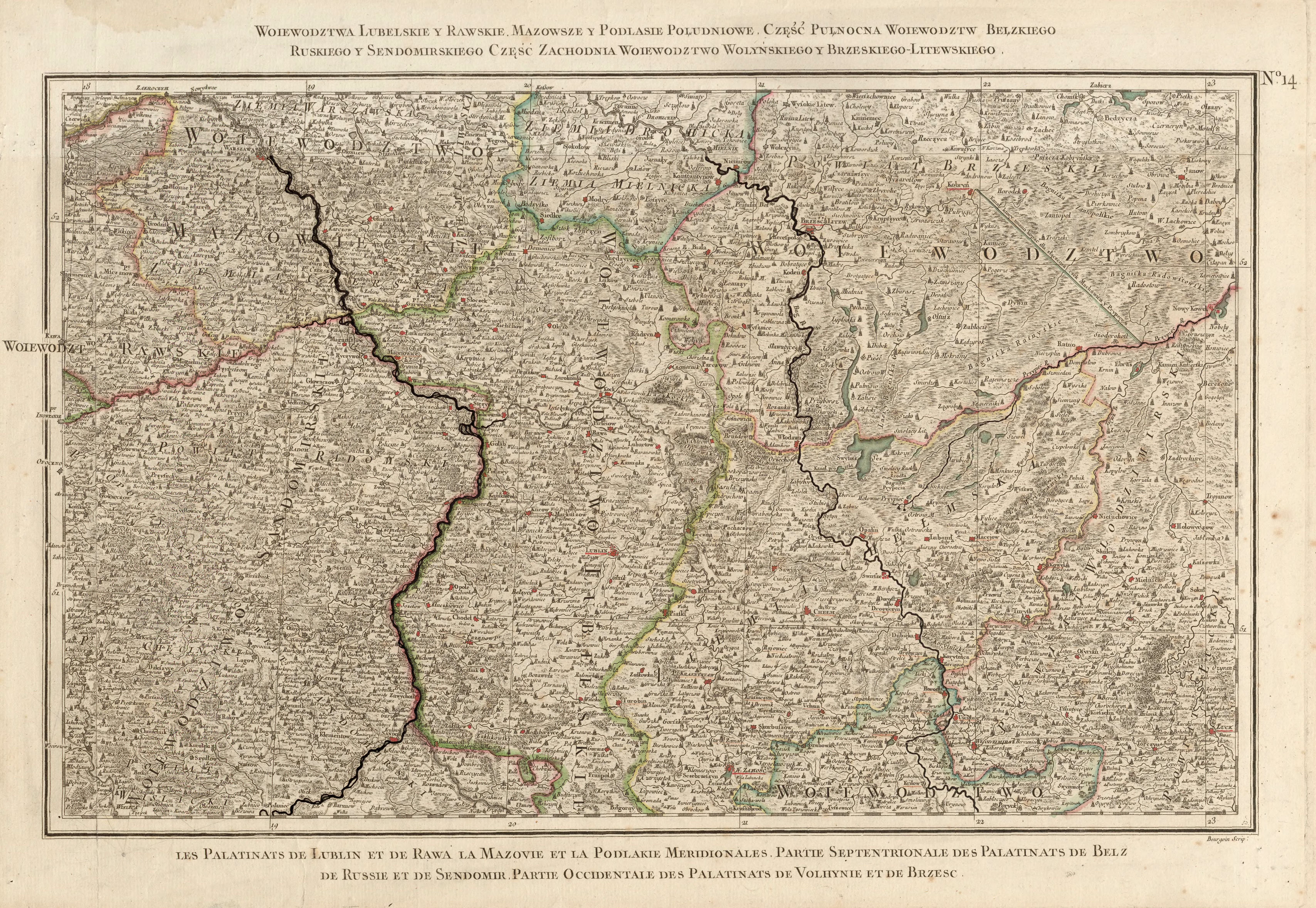
- ↑ Rizzi Zannoni, Woiewództwa Lubelskie y Rawskie. Mazowsze y Podlasie Południowe. Część Pułnocna Woiewództw Bełzkiego, Ruskiego y Sendomirskiego, część zachodnia Województwo (!) Wolyńskiego y Brzeskiego - Litewskiego .; 1772
- ↑ Відповідно до Закону України "Про добровільне об'єднання територіальних громад" у Волинській області у Шацькому районі Шацька селищна рада , Прип'ятська, Самійличівська сільські ради рішеннями від 29 і 30 вересня 2015
Cities: Berestechko | Horochiw | Kamin-Kaschyrskyj | Kiwerzi | Kovel | Lyuboml | Lutsk | Novovolynsk | Roschyshche | Volodymyr-Wolynskyi | Ustyluh . Urban-type settlements: Blahodatne | Dubyshche | Holoby | Holowne | Ivanychi | Kolky | Lokatschi | Lukiw | Lyubeshiv | Ljublynez | Manevychi | Marjanivka | Olyka | Ratne | Rokyni | Sabolottja | Schazk | Senkevychivka | Stara Vyshivka | Tortschyn | Turiysk | Zuman .