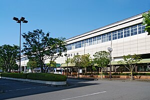
Kitakami
| Kitakami-shi 北 上市 |
||
|---|---|---|
| Geographical location in Japan | ||
|
|
||
| Region : | Tōhoku | |
| Prefecture : | Iwate | |
| Coordinates : | 39 ° 17 ' N , 141 ° 7' E | |
| Basic data | ||
| Surface: | 437.55 km² | |
| Residents : | 92,447 (October 1, 2019) |
|
| Population density : | 211 inhabitants per km² | |
| Community key : | 03206-9 | |
| Symbols | ||
| Flag / coat of arms: | ||
| Tree : | cherry | |
| Flower : | Lilium auratum | |
| Bird : | Gray wagtail | |
| town hall | ||
| Address : |
Kitakami City Hall 1 - 1 , Yoshi-chō Kitakami -shi Iwate 024-8501 |
|
| Website URL: | http://www.city.kitakami.iwate.jp | |
| Location Kitakamis in Iwate Prefecture | ||
Kitakami ( Japanese 北 上市 , -shi ) is a city in Iwate Prefecture on Honshū , the main island of Japan .
geography
Kitakami is north of Sendai and south of Morioka .
The Kitakami flows through the city from north to south.
traffic
- Street:
- Tōhoku Highway
- National road 4 , to Tokyo or Aomori
- Train:
- JR Tōhoku Shinkansen : Kitakami Station
- JR Tōhoku main line
Town twinning
Neighboring cities and communities
Web links
Commons : Kitakami - collection of pictures, videos and audio files


