Kobylezka Polyana
| Kobylezka Polyana | ||
| Кобилецька Поляна | ||

|
|
|
| Basic data | ||
|---|---|---|
| Oblast : | Zakarpattia Oblast | |
| Rajon : | Rakhiv Raion | |
| Height : | 410 m | |
| Area : | Information is missing | |
| Residents : | 3,392 (December 2004) | |
| Postcodes : | 90620 | |
| Area code : | +380 3132 | |
| Geographic location : | 48 ° 4 ' N , 24 ° 4' E | |
| KOATUU : | 2123655800 | |
| Administrative structure : | 1 urban-type settlement | |
| Mayor : | Ivan Biljak | |
| Address: | вул. Павлюка 175 90620 смт. Кобилецька Поляна |
|
| Statistical information | ||
|
|
||
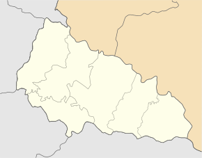
Kobyletska poliana (Ukrainian Кобилецька Поляна ; Russian Кобылецкая Поляна / Kobylezkaja Poljana , Slovak Kobylecka Poľana / Kabolecká Poljana / Poľana Kobilská , Hungarian Gyertyánliget or older Kabola Polyana , Romanian Poiana Cobilei ) is an urban-type in the Western Ukraine ( oblast Transcarpathians , rakhiv raion ) about 36 kilometers by road west of the city of Rakhiv .
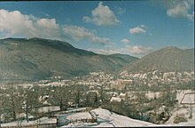
The place with about 3400 inhabitants is located in the middle of the mountains of the Carpathians in the valley of the river Schopurka (Шопурка), which is created here by the confluence of the Mala Schopurka and Serednja .
history
The place was first mentioned in writing as Kabola Poljana in 1672 .
In 1910 the place, which is part of the Kingdom of Hungary in Máramaros County , had 1,832 inhabitants who were divided between the ethnic groups of the Ruthenians, Hungarians and Germans. After the end of the First World War it came to the newly formed Czechoslovakia (as part of the Carpathian Ukraine ) and was ceded to the USSR after the end of the Second World War . In 1971 the place received the status of an urban-type settlement .


