Silberbach (Schwarzbach)
| Silberbach | ||
| Water code | DE : 249616 | |
| location | Taunus , Hessen , Germany | |
| River system | Rhine | |
| Drain over | Dattenbach → Schwarzbach → Main → Rhine → North Sea | |
| origin | Confluence of two source streams at the Stegwiese east of Schloßborn | |
| muzzle | at Ehlhalten in the Dattenbach 50 ° 10 ′ 15 ″ N , 8 ° 22 ′ 16 ″ E
|
|
| length | 7.1 km | |
| Catchment area | 6.05 km² | |
The Silberbach is a left tributary of the Dattenbach in the Taunus .
course
The Silberbach has two source streams. The northern of the two has its source in the Tränkebachschlag southeast of the glass head . Similar to the Rombach , which flows parallel for about 300 meters , it served to water the animals at the Eselsheck pass , today's B8 . Therefore it was historically called Tränkbach. Today it is called Kalbshecker Bach, after the forest area below the B8 Kalbsheck.
![]()
The second source stream rises about 1,000 meters further south. The desert Dittelshain lay 1,200 meters below the source . The brook therefore also bears the name Dittelshainer Bach.
![]()
At the Stegwiese east of Schloßborn , the two streams unite to form the Silberbach. It now flows between the Spitzen Berg and the Atzelberg to Ehlhalten , where it flows into the Dattenbach.
The southern tip of the Spitzen Berg is called Silberberg (a silver mine is said to have been located here). The name of the stream is derived from this.
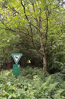
Silberbachtal nature reserve near Schloßborn
In 1997 the Silberbachtal nature reserve near Schloßborn with a size of 39.67 hectares was placed under protection.
![]()
literature
- Hermin Herr: Lexikon vom Hohe Taunus, p. 104
