
Jászszentlászló: Difference between revisions
Content deleted Content added
m r2.7.3) (Robot: Adding ms:Jászszentlászló |
m Bot: Migrating 13 interwiki links, now provided by Wikidata on d:q782069 (Report Errors) |
||
| Line 55: | Line 55: | ||
{{Bacs-geo-stub}} |
{{Bacs-geo-stub}} |
||
[[eo:Jászszentlászló]] |
|||
[[fr:Jászszentlászló]] |
|||
[[hr:Jászszentlászló]] |
|||
[[it:Jászszentlászló]] |
|||
[[hu:Jászszentlászló]] |
|||
[[ms:Jászszentlászló]] |
[[ms:Jászszentlászló]] |
||
[[nl:Jászszentlászló]] |
|||
[[pl:Jászszentlászló]] |
|||
[[ro:Jászszentlászló]] |
|||
[[sk:Jászszentlászló]] |
|||
[[sl:Jászszentlászló]] |
|||
[[vi:Jászszentlászló]] |
|||
[[wuu:Jászszentlászló]] |
|||
[[zh:亚斯森特拉斯洛]] |
|||
Revision as of 02:04, 26 February 2013
Jászszentlászló | |
|---|---|
 | |
| Country | |
| County | Bács-Kiskun |
| Area | |
| • Total | 60.34 km2 (23.30 sq mi) |
| Population (2002) | |
| • Total | 2,632 |
| • Density | 44/km2 (110/sq mi) |
| Time zone | UTC+1 (CET) |
| • Summer (DST) | UTC+2 (CEST) |
| Postal code | 6133 |
| Area code | 77 |

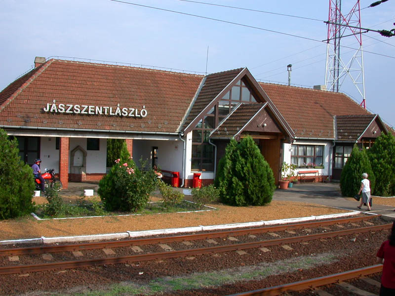
Jászszentlászló is a village in Bács-Kiskun county, in the Southern Great Plain region of southern Hungary. It lies just south of Kiskunfelegyhaza and just north of Kiskunmajsa. The town is a stop[1] on the railroad line between Kecskemet and Szeged.
Geography
It covers an area of 60.34 km2 (23 sq mi) and has a population of 2632 people (2002).
Economy
There are several agricultural enterprises. Some pump jacks still raise crude oil from the ground.
References
External links
46°34′N 19°46′E / 46.567°N 19.767°E


This Bács-Kiskun location article is a stub. You can help Wikipedia by expanding it. |