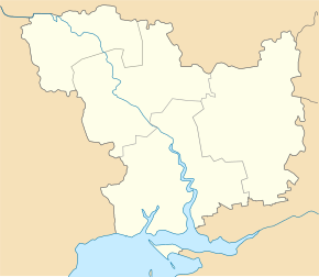
Pidhorodna
| Pidhorodna | ||
| Підгородна | ||

|
|
|
| Basic data | ||
|---|---|---|
| Oblast : | Mykolaiv Oblast | |
| Rajon : | Pervomaysk Raion | |
| Height : | no information | |
| Area : | 10 km² | |
| Residents : | 2,199 (2019) | |
| Population density : | 220 inhabitants per km² | |
| Postcodes : | 55222 | |
| Area code : | +380 5161 | |
| Geographic location : | 48 ° 7 ' N , 30 ° 53' E | |
| KOATUU : | 4825455400 | |
| Administrative structure : | 1 urban-type settlement | |
| Address: | вул. Комсомольська 12a 55222 смт. Підгородна |
|
| Statistical information | ||
|
|
||
Pidhorodna ( Ukrainian Підгородна ; Russian Подгородная Podgorodnaja ) is an urban-type settlement in the Ukrainian Oblast of Mykolaiv with around 2,200 inhabitants (2014).
Pidhorodna located in Rajon Pervomaisk 170 km northwest of Oblastzentrum Mykolaiv and 9 km northeast of the Rajonzentrum Pervomaisk . The territorial roads T – 15–04 and T – 12–19 and the Borschtschi – Kharkiv railway line run alongside the village .
The village, which was founded in 1899, was given the status of an urban-type settlement in 1960 and is the only place belonging to the settlement council.
Individual evidence
- ↑ Cities in Ukraine at pop-stat.mashke.org, accessed on March 25, 2019

