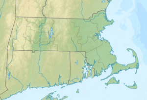
Shag Rocks (Massachusetts)
| Shag rocks | ||
|---|---|---|
| Waters | Boston Harbor , Atlantic Ocean | |
| Geographical location | 42 ° 19 '47 " N , 70 ° 52' 58" W | |
|
|
||
| surface | 0.5 ha | |
| Highest elevation | 7.9 m | |
Shag Rocks is an island in Boston Harbor . It is 10 mi (16.1 km ) from downtown Boston in the state of Massachusetts in the United States and has an area of approximately 1.3 acres (0.5 hectares ). It is unmanaged and is part of the Boston Harbor Islands National Recreation Area .
Due to its natural nature, it is not possible to get to the island. The rock was a great danger to shipping for many years, and many ships sank in the immediate vicinity. It was not until the Boston Light was put into operation on nearby Little Brewster Island that it was possible to warn the captains and provide support for rescue missions.
Individual evidence
- ↑ Island Facts: Shag Rocks. National Park Service , accessed July 1, 2013 .
Web links
- Boston Harbor Islands. Massachusetts Department of Conservation and Recreation , accessed July 1, 2013 (DCR basic information about the sanctuary, travel preparations and behavior).
