Sheep Island (Massachusetts)
| Sheep Island | ||
|---|---|---|
| Waters | Boston Harbor , Atlantic Ocean | |
| Geographical location | 42 ° 16 '50.4 " N , 70 ° 55' 28.2" W | |
|
|
||
| surface | 1.2 ha | |
| Highest elevation | 3 m | |
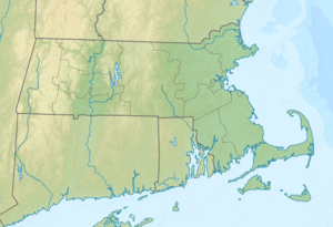
Sheep Island (also Round Island ) is an island in Boston Harbor . It is located on Hingham Bay 9.3 mi (15 km ) from downtown Boston in the state of Massachusetts in the United States . Sheep Island has an area of approximately 3 acres (1.2 hectares ). The island belongs to Weymouth and is part of the Boston Harbor Islands National Recreation Area .
history
In the 17th century the island covered more than 25 acres (10.1 hectares) and was known as Round Island . In 1636 it was transferred to the town of Weymouth, which grazed sheep there; this is how the current name of the island came about. Over the centuries, erosion has resulted in Sheep Island being little more than an acre today.
Individual evidence
- ↑ a b Island Facts: Sheep Island. National Park Service , accessed May 11, 2014 .
