Langlee Island
| Langlee Island | ||
|---|---|---|
| Aerial view of the island | ||
| Waters | Boston Harbor , Atlantic Ocean | |
| Geographical location | 42 ° 15 '52 " N , 70 ° 53' 15.4" W | |
|
|
||
| surface | 3.24 ha | |
| Highest elevation | 12.2 m | |
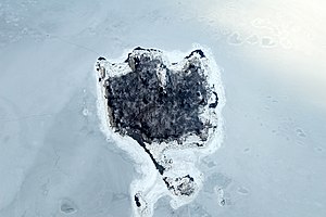
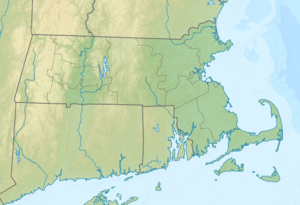
Langlee Island is an island in Hingham Bay in Boston Harbor . It is located 11.8 mi (19 km ) from downtown Boston in the state of Massachusetts in the United States . Langlee Iceland has a permanent area of about 4.5 acres (1.8 ha ), which through a watt , depending on the tidal range is increased temporarily by another 3.5 acres (1.4 ha). It is administered by the City of Hingham and is part of the Boston Harbor Islands National Recreation Area .
geography
geology
The island consists primarily of the locally occurring rock conglomerate Roxbury Puddingstone and rises about 40 ft (12.2 m ) above the water surface. In the center of the island there are also glacial till .
Flora and fauna
In the 19th century, the then owner planted a variety of trees and shrubs on the island in order to restore it to its original state before colonization. Today oak , birch , cedar and maple thrive there . The shrubs include blueberries , snowballs , winds , dewberries , rhus and climbing poison sumac . The island's wildlife is still the subject of scientific research.
history
The island was already used seasonally by the Indians and was named after John Langlee , who bought the island in 1689. After several generations of private ownership, ownership of the island later passed to the city of Hingham.
Individual evidence
- ↑ a b c d Langlee Island Facts. Boston Harbor Islands, archived from the original on September 4, 2006 ; accessed on July 17, 2013 .
Web links
- Boston Harbor Islands. Massachusetts Department of Conservation and Recreation , accessed July 17, 2013 (DCR basic information on the sanctuary, travel preparations and behavior).

