The Graves (Massachusetts)
| The Graves | ||
|---|---|---|
| The island with the lighthouse The Graves Light | ||
| Waters | Boston Harbor , Atlantic Ocean | |
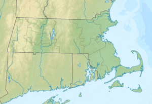
| Geographical location | 42 ° 21 '38.3 " N , 70 ° 52' 8.6" W | |
|
|
||
| surface | 0.7 ha | |
| Highest elevation | 4.57 m | |
The Graves is an island in Boston Harbor . It is 11 mi (17.7 km ) from downtown Boston in the state of Massachusetts in the United States . The Graves covers approximately 1.8 acres (0.7 hectares ), is administered by the United States Coast Guard and is part of the Boston Harbor Islands National Recreation Area . On the island, the Graves Light is located in the area of the port furthest from the mainland and at 113 ft (34.4 m ) also the highest lighthouse .
geography
geology
The island is made up of bedrock rock formation rising up to 15 ft (4.6 m) from the water.
Flora and fauna
The Graves is exclusively home to aquatic plants . The island's wildlife is still the subject of scientific research.
Attractions
Besides the lighthouse, there are no other sights on the island. The authorities explicitly advise against any approach to the island.
Individual evidence
- ↑ a b c d Island Facts: The Graves. National Park Service , accessed July 3, 2013 .
Web links
- Boston Harbor Islands. Massachusetts Department of Conservation and Recreation , accessed July 3, 2013 (DCR basic information about the sanctuary, travel preparations and behavior).

