Middle Brewster Island
| Middle Brewster Island | ||
|---|---|---|
| Waters | Boston Harbor , Atlantic Ocean | |
| Geographical location | 42 ° 20 '23.8 " N , 70 ° 53' 22.1" W | |
|
|
||
| surface | 5.5 ha | |
| Highest elevation | 15.85 m | |
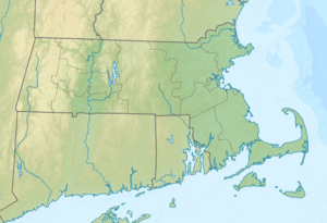
Middle Brewster Island is an island in Boston Harbor . It is 9.33 mi (15 km ) from downtown Boston in the state of Massachusetts in the United States and covers an area of approximately 13.6 acres (5.5 hectares ). It is administered by the Massachusetts Department of Conservation and Recreation (DCR) and is part of the Boston Harbor Islands National Recreation Area .
geography
geology
The island is made up of several rocks and protrudes up to 52 ft (15.8 m ) from the water.
Flora and fauna
Mostly seagulls and cormorants nest on the island . The low vegetation consists of rhus , short-growing trees and grasses. The island's fauna is also the subject of scientific research.
history
The island was named after William Brewster , the first preacher and teacher of the Plymouth Colony . In the middle of the 19th century, anglers built a few huts on the island. Some wealthy Boston citizens also used the island as a retreat during the Gilded Age in the late 19th century.
Attractions
Apart from the ruins of a stone arch, on which a bell used to hang, and some walls, the island offers no special sights. On the contrary, the authorities do not advise approaching it, especially during the breeding season of the birds that live there.
Individual evidence
- ↑ a b c d e Island Facts: Middle Brewster Island. National Park Service , accessed June 20, 2013 .
Web links
- Boston Harbor Islands. Massachusetts Department of Conservation and Recreation, accessed June 20, 2013 (DCR basic information on the sanctuary, travel arrangements, and behavior).
