Božava
| Božava | ||
|
|
||
| Basic data | ||
|---|---|---|
| State : |
|
|
| County : |
|
|
| Island : | Dugi Otok | |
| Municipality : | Sali | |
| Residents : | 116 (2011) | |
| Telephone code : | (+385) 023 | |
| Postal code : | 23286 | |
| License plate : | ZD | |
| Boat registration : | BZ | |
 |
||
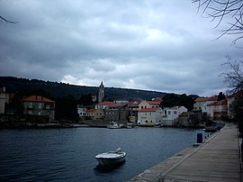
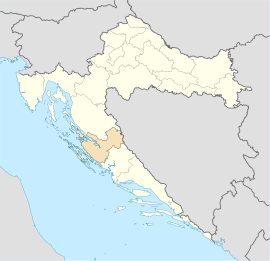
Božava is a village on the island of Dugi Otok in Croatia
Location and inhabitants
Božava is located in the north-western part of the island. The 116 inhabitants of Božava are farmers and fishermen, but most of them also live from tourism.
| Population development | |||||||||||||||
|---|---|---|---|---|---|---|---|---|---|---|---|---|---|---|---|
| 1857 | 1880 | 1890 | 1900 | 1910 | 1921 | 1931 | 1948 | 1953 | 1961 | 1971 | 1981 | 1991 | 2001 | 2011 | |
| 180 | 195 | 239 | 277 | 261 | 335 | 248 | 260 | 269 | 262 | 248 | 139 | 166 | 127 | 116 | |
history
Božava was first mentioned in 1327 under the name Bosane. Settlement was earlier. The barrows of the Illyrians prove this . Ruins of a Roman farm were also found. The Church of St. Nicholas is now called Sveti Križa and was built towards the end of the 14th century.
Two so-called underground bunkers of the Yugoslav army are still preserved near Božava. Today they are a popular tourist destination as you can go deep into them by boat.
Web links
Commons : Božava - collection of images, videos and audio files


