
Big book stone
| Big book stone | ||
|---|---|---|
 Northwest side of Kleinem (left) and Großem Buchstein (right) |
||
| height | 2224 m above sea level A. | |
| location | Styria , Austria | |
| Mountains | Gesäuse , Ennstal Alps | |
| Dominance | 6 km → Hochtor | |
| Notch height | 1363 m ↓ Buchauer saddle | |
| Coordinates | 47 ° 36 '37 " N , 14 ° 35' 48" E | |
|
||
| rock | Dachstein Limestone | |
| Age of the rock | Norium - Rhaetium | |
| Normal way | West Gorge ( I ) or Wenger Steig ( II ) | |
 The Buchstein massif with the peaks of the Großer Buchein and the St. Gallener Spitze, as well as the summit of the Kleiner Buchstein (right) |
||

The Great Buchstein is 2224 m above sea level. A. high mountain in the Ennstal Alps in Styria . It rises north of Enns at the entrance of Gesäuse and is part of the same national park Gesäuse . The Große Buchstein has a fort-like summit structure with steeply sloping rock walls made of Dachstein limestone around a rather extensive, trough-like karst plateau .
Location and surroundings
The Große Buchstein is located in the municipality of Admont and Sankt Gallen . The mountain is the western cornerstone of the approximately ten kilometer long Buchstein group , which ends near Hieflau with the Tamischbachturm ( 2035 m ), and whose highest point is marked by the Buchstein. Between the two endpoints, the Tieflimauer ( 1820 m ) and the Kleine Buchstein ( 1990 m ) still rise up from east to west , before the ridge turns into a long, jagged ridge and over the Buchstein wall ( 2123 m ) with the hollow-like, karstified structure Buchstein plateau connects.
The main summit of the Großer Buchstein is located on the southwestern edge of the plateau, which goes clockwise with the Admonter Frauenmauer (southwest summit 2172 m ), the St. Gallener Spitze (western summit 2144 m ), the Buchsteinmauer , the Plattenkogel (up to 2053 m ) and the Drei Cutting (west summit 2208 m ) has further marginal summits . To the west, the Große Buchstein finally descends to the Buchauer Sattel ( 861 m ), which forms a connection to the Haller Walls . Opposite the Buchstein to the south, separated by the Enns flowing deep below, the north walls of Hochtor and Großer Ödstein tower up. From the summit cross there is a magnificent view of the Hochtor group.
geology
The base of the big bookstone is made of ramsaudolomite . On the west side, this merges directly into the Dachstein limestone above, which forms the entire summit structure of the mountain. On the other side, a narrow strip of exposed Lunzer layers mediates the transition to the main dolomite and finally to the Dachstein limestone. On the Großer Buchstein the Miocene surface is still preserved, while in other parts of the Buchstein group it has already been removed below this height and shows sharper shapes.
Tourist development
Already on August 9, 1814, the Admont cleric Albert Muchar climbed to the summit of the Großer Buchein with numerous measuring devices to measure its height. His result of 1171.7 fathoms ( 2222 m ) deviated only by two meters from today's official value. In a letter to Benno Kreil he described:
"... that's a way! I couldn't say dangerous; but far - far - and arduous. [...] That's why the old Philistine Buchstein never sees me crawling over his wig anymore. "
Wilhelm Schleicher from Gresten was the first tourist to climb the Buchstein and reported on his tour through the western gorge in the yearbook of the Austrian Alpine Association 1867.
One of the most famous early tourists on the Buchstein is Empress Elisabeth of Austria , who reached the summit on September 18, 1885.
Climbs
A possible base for climbing the Großer Buchein is the Buchsteinhaus at an altitude of 1546 m below the south wall. The climb to the plateau is easiest on the westerly Buchstein saddle ( 2,080 m ) or via the southeast, Rohrgaßsattel ( 2020 m ). From the plateau, the peaks at the edge are easy to reach.
- The normal ascent to the Großer Buchstein leads from the Buchsteinhaus through the west gorge into the Buchstein saddle and from there south over a stepped slope to the summit. This path is easy ( I and walking area) and was used by hunters early on.
- Since there is a lot of scree and rough boulders in the west gorge, the somewhat more difficult Wenger Steig (II and I), which Heinrich Hess was the first tourist to walk in 1884 , has emerged as the cheaper normal climb, because it is free of scree. This leads south of the west gorge, partially insured, to the plateau.
- The west ridge is often climbed on its steep ridge edge ( III + , III, II; first climbed by Heinrich Pfannl and Thomas Maischberger on January 16, 1898).
- A series of climbs of all levels of difficulty lead through the wide south face, which continues in the south face of the Three Cutting Edges. The south face of the Großer Buchein is closed in the east by the south ridge ( III + , III; first ascended by Hubert Peterka on September 20, 1943) and the Gamsschlucht.
- The Südwandband via ferrata leads diagonally through the south face (difficulty B / C ).
literature
- Willi End : Gesäuse mountains. A guide for valleys, huts and mountains (= Alpine Club Guide. Nördliche Kalkalpen series. ). Bergverlag Rudolf Rother, Munich 1988, ISBN 3-7633-1248-X .
Web links
- Großer Buchstein at www.thehighrisepages.de (with pictures of the plateau)
- Großer Buchstein on Peakbagger.com (English)
Individual evidence
- ^ Federal Office for Metrology and Surveying Austria: Austrian Map online (Austrian map 1: 50,000) .
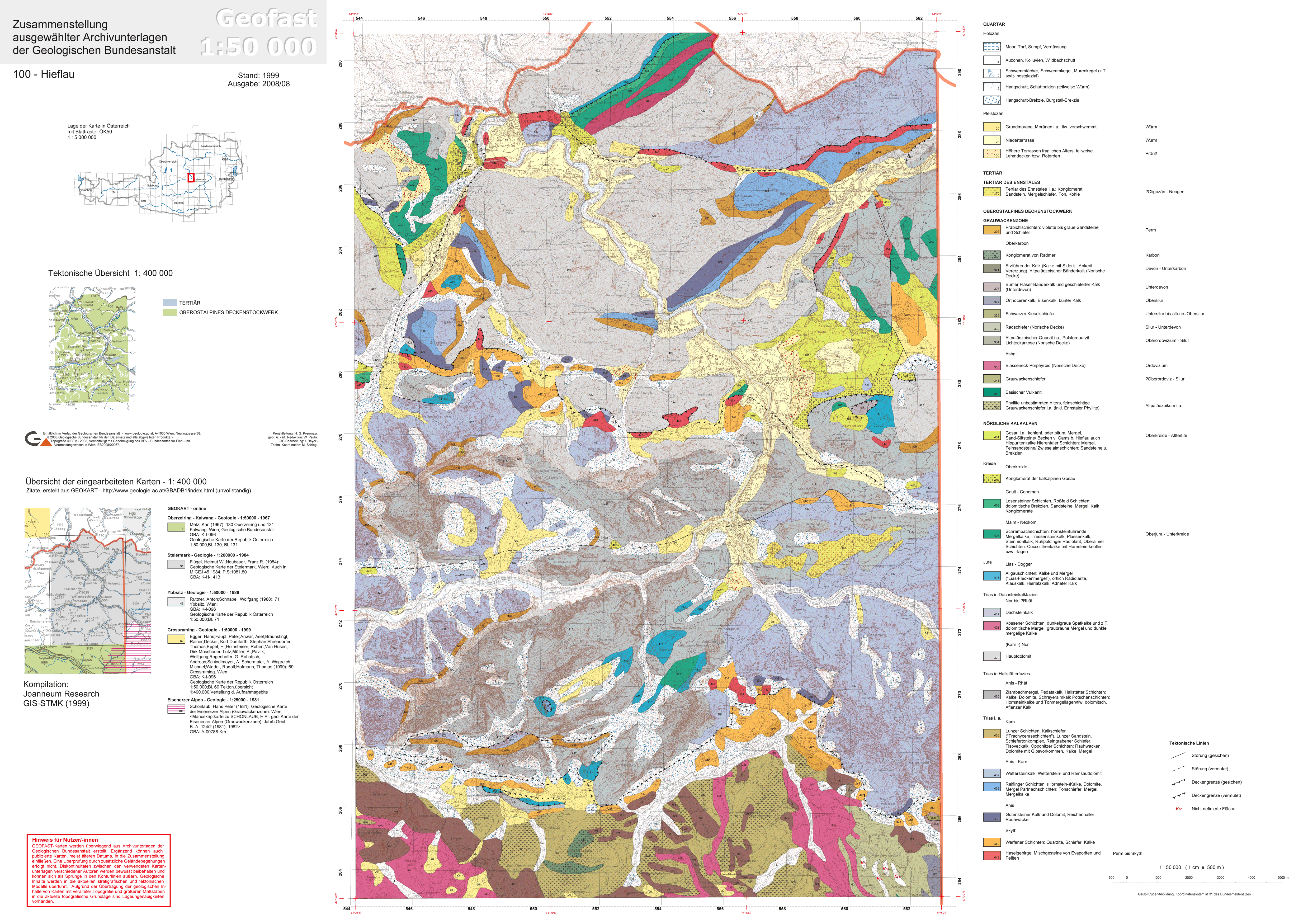
- ↑ Provisional Geological Map of the Republic of Austria 1: 50,000, published by the Federal Geological Institute , Vienna 2008/09, sheet 100 Hieflau
- ^ Josef Hasitschka: The Admont Abbey and the beginnings of the Gesäusetourismus. In: Berg '88. Alpine Club Yearbook . Vol. 112, 1988, pp. 53-59.
- ^ Wilhelm Schleicher: From the Upper Styrian Alps. In: Yearbook of the Austrian Alpine Association. Vol. 3, 1867, ZDB -ID 511831-1 , pp. 24-54, here pp. 24-29 .
- ^ Heinrich Hess : The Ennsthal Alps. In: Eduard Richter (Red.): The development of the Eastern Alps. Volume 1: The Northern Limestone Alps. Publisher of the German and Austrian Alpine Club, Berlin 1893, p. 390.
- ↑ Tour data for the Großer Buchstein via ferrata tour, Südwandband - via ferrata in Styria Ennstaler Alpen / Gesäuse - Hieflau - Tours Photos Videos GPS data on ALPINE TOURS ....
- ↑ styria Alpin - Großer Buchstein ( Memento from August 11, 2008 in the Internet Archive )
- ↑ Pictures from the via ferrata ( page no longer available , search in web archives ) Info: The link was automatically marked as defective. Please check the link according to the instructions and then remove this notice.