Administrative division of Hungary
Hungary is divided into cities ( város ) and municipalities ( község ), districts ( járás ), counties and regions .
cities and communes
Hungary has 3154 parishes. 119 of these have the rank of a large municipality and 328 the rank of a city. (As of January 1, 2011)
Járások: chair districts, districts or districts
The middle administrative unit járás (Mz. Járások ) is translated as district, before 1918 chair district , more recently also district .
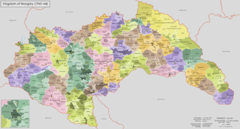
At the beginning of the First World War , Hungary had 442 chair districts in its territory at that time. After the Trianon Peace Treaty , there were around 150. With the expansion of the area between 1938 and 1941, the number of districts also increased. As a result of the Paris Peace Conference in 1946 , Hungary again had 150 districts, which were dissolved on December 31, 1983.
In 1994, the Central Statistical Office of Hungary divided the country into 138 territorial units, initially called "statistical districts" ( statisztikai körzet ), in order to collect certain statistical data .
On August 1, 1997, the districts were converted into 150 small areas ( kistérség ). In 2003 the number was increased to 186 and at the same time they were given part of the public tasks of the municipalities.
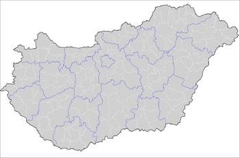
On January 1, 2013, after a 29-year break, districts ( járások , now translated more as circles ) will be introduced again. It's 175 now.
Counties
The historical counties of Hungary originated around 1000 . With the reform of 1950 , 19 counties were formed. The number of circles remained unchanged.
Regions
In 1999, seven regions were created in Hungary , also to meet the requirements of the European Union ( NUTS ). These regions are made up of the counties of Hungary and serve primarily statistical purposes.
There are Northern Hungary ( Észak-Magyarország ), Northern Great Plain ( Észak-Alföld ), Southern Great Plain ( Dél-Alföld ), Central Hungary ( Közép-Magyarország ), Central- ( Közép-Dunántúl ), Westtransdanubien ( Nyugat-Dunántúl ) and Somogy ( Dél-Dunántúl )
swell
- Relevant articles on the Hungarian Wikipedia


