Ulstein
| coat of arms | map | |
|---|---|---|

|
|
|
| Basic data | ||
| Commune number : | 1516 | |
| Province (county) : | Møre and Romsdal | |
| Administrative headquarters: | Ulsteinvik | |
| Coordinates : | 62 ° 20 ' N , 5 ° 51' E | |
| Surface: | 97.2 km² | |
| Residents: | 8,571 (Feb 27, 2020) | |
| Population density : | 88 inhabitants per km² | |
| Language form : | Nynorsk | |
| Website: | ||
| politics | ||
| Mayor : | Knut Erik Engh ( FrP ) (2015) | |
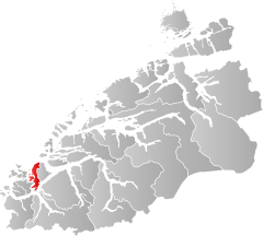
| Location in the province of Møre og Romsdal | ||

|
||
Ulstein is a municipality in the Norwegian Fylke Møre og Romsdal . The administrative center of the municipality is Ulsteinvik .
geography
Ulstein lies partly, together with the municipality of Hareid, on the 166 km² island of Hareidlandet . Another larger island is Dimnøy with 9 square kilometers. The municipality with its up to 99 m high cliffs borders the Atlantic Ocean in the northwest and extends from north to south over the Rovdefjorden by 23.7 km (land only 22.5 km) and in east to west over the Breidsundet by 11, 4 km (only land 11.1 km). The population density is 88 inhabitants per square kilometer.
Ulstein's neighboring municipalities are Giske , Hareid , Herøy , Ørsta and Volda .
economy
The largest employers in the municipality are Rolls-Royce , Ulstein Værft and Kleven Verft .
