Lower Nahe
Coordinates: 49 ° 54 ′ 23 " N , 7 ° 54 ′ 35" E
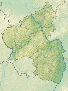
The Untere Nahe nature reserve is the largest nature reserve in the Bad Kreuznach district in Rhineland-Palatinate .
The 246 hectare area, which was placed under nature protection by ordinance of October 17, 1983 , extends along the Nahe between the cities of Bingen in the north and Bad Kreuznach in the south. Not far to the west runs the B 427 , the A 61 crosses the area between Dietersheim and Sponsheim in a west-east direction.
See also
Web links
Commons : Lower Nahe - collection of images, videos and audio files
- State ordinance on the "Untere Nahe" nature reserve in the Bad Kreuznach district of October 17, 1983 (PDF) on naturschutz.rlp.de
- Lower Nahe (map) on protectedplanet.net


