Malé Ozorovce: Difference between revisions
Content deleted Content added
m #article-add-desc Tags: Mobile edit Mobile app edit iOS app edit |
m Typo fix (via WP:JWB) |
||
| Line 7: | Line 7: | ||
==Geography== |
==Geography== |
||
The [[village]] lies at an [[altitude]] of 197 metres (646 ft) and covers an [[area]] of 17.082 km |
The [[village]] lies at an [[altitude]] of 197 metres (646 ft) and covers an [[area]] of 17.082 km<sup>2</sup> (4221 acres). It has a [[population]] of about 565 people. |
||
==Ethnicity== |
==Ethnicity== |
||
Latest revision as of 08:10, 30 March 2024

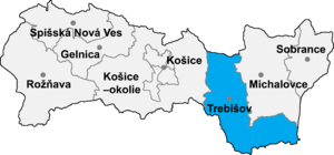
Malé Ozorovce (Hungarian: Kisazar) is a village and municipality in the Trebišov District in the Košice Region of south-eastern Slovakia.
History[edit]
In historical records the village was first mentioned in 1332.
Geography[edit]
The village lies at an altitude of 197 metres (646 ft) and covers an area of 17.082 km2 (4221 acres). It has a population of about 565 people.
Ethnicity[edit]
The village is almost 100% Slovak.
Facilities[edit]
The village has a public library and a football pitch.
External links[edit]
48°41′N 21°37′E / 48.683°N 21.617°E
