Inner Unterspreewald
|
Inner Unterspreewald
|
||
|
Inner Unterspreewald nature reserve |
||
| location | Brandenburg , Germany | |
| surface | 22.313 km² | |
| WDPA ID | 64688 | |
| Geographical location | 52 ° 3 ' N , 13 ° 52' E | |
|
|
||
| Setup date | September 12, 1990 | |
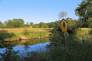
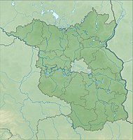
The Innerer Unterspreewald nature reserve is located in the Dahme-Spreewald district in Brandenburg .
The 2231.33 ha large nature reserve, as established by Regulation of 12 September 1990 under nature protection was provided, extending between Neuendorf am See ( Lower Sorbian Nowa Wjas psi jazoru ) in the northeast and Hartmannsdorf ( Lower Sorbian Hartmanojce ) to the southeast. The Spree flows through the area in the northern part, while the Spree largely forms the eastern border to the south.
See also
Web links
Commons : Innerer Unterspreewald - Collection of pictures, videos and audio files


