Višňov: Difference between revisions
Content deleted Content added
No edit summary |
Plasticspork (talk | contribs) m Orphan template per Wikipedia:Templates for discussion |
||
| Line 20: | Line 20: | ||
{{Trebišov District}} |
{{Trebišov District}} |
||
{{Tőketerebes (Trebišov) District}} |
|||
{{Trebišov-geo-stub}} |
{{Trebišov-geo-stub}} |
||
Revision as of 23:08, 4 March 2010

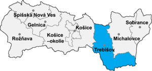
Višňov (Hungarian: Visnyó) is a village and municipality in the Trebišov District in the Košice Region of south-eastern Slovakia.
History
In historical records the village was first mentioned in 1270.
Geography
The village lies at an altitude of 122 metres and covers an area of 4.763 km². It has a population of about 220 people.
Ethnicity
The village is about 99% Slovak.
Facilities
The village has a public library.
