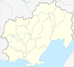
Atka (Russia)
| Urban-type settlement
Atka
Атка
|
||||||||||||||||||||||||||||
|
||||||||||||||||||||||||||||
|
||||||||||||||||||||||||||||
Atka ( Russian А́тка ) is an urban-type settlement in the Magadan Oblast ( Russia ) with 485 inhabitants (as of October 14, 2010).
geography
The place is about 150 km as the crow flies north-northeast of the Magadan Oblast Administrative Center in the Kolyma Mountains on the eponymous Atka river in the system of the Kolyma tributary Bachaptscha .
Atka belongs to Rajon Chassynski and is located approximately 100 km north-east of the administrative center of Palatka . The settlement is the seat and only locality of the municipality (gorodskoje posselenije) Possjolok Atka.
history
The settlement was founded at the end of the 1930s in connection with the construction of the Kolymatrasse . Atka has had urban-type settlement status since 1953.
Population development
| year | Residents |
|---|---|
| 1959 | 3022 |
| 1970 | 2105 |
| 1979 | 2689 |
| 1989 | 2648 |
| 2002 | 604 |
| 2010 | 485 |
Note: census data
traffic
Atka is located on the R504 Kolyma highway , which connects Magadan with Nizhny Bestjach near Yakutsk (previously M56 , number still in use until 2017).
Individual evidence
- ↑ a b Itogi Vserossijskoj perepisi naselenija 2010 goda. Tom 1. Čislennostʹ i razmeščenie naselenija (Results of the All-Russian Census 2010. Volume 1. Number and distribution of the population). Tables 5 , pp. 12-209; 11 , pp. 312–979 (download from the website of the Federal Service for State Statistics of the Russian Federation)

