Boehmke
| Boehmke | ||
|---|---|---|
| Böhmke, from the east | ||
| Waters | Backwaters | |
| Geographical location | 53 ° 56 '43 " N , 14 ° 1' 56" E | |
|
|
||
| length | 270 m | |
| width | 150 m | |
| surface | 3.2 ha | |
| Highest elevation | 4.5 m | |
| Residents | uninhabited | |
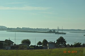
The uninhabited small island of Böhmke lies between Nepperminer See and Balmer See in the southeastern part of the backwater that separates Usedom from the mainland. The island belongs to the municipality of Benz in the district of Vorpommern-Greifswald , Mecklenburg-Vorpommern.
The approximately oval island is 3.2 hectares in size with a north-south extension of 270 meters and a width of 150 meters in a west-east direction. Its highest point of 4.5 meters above sea level is in the northern part, where some bushes also grow. The southern half consists of swampy grassland.
The island of Böhmke is located together with the neighboring island of Balmer Werder in the nature reserve of the islands of Böhmke and Werder, established in 1967 in the island of Usedom .
proof
- ↑ Geodata viewer of the Office for Geoinformation, Surveying and Cadastre of Mecklenburg-Western Pomerania ( information )
- ↑ Nature reserve Insel Böhmke and Werder at www.kreis-vg.de, accessed on June 7, 2019


