Barrow Strait
| Barrow Strait | ||
|---|---|---|
| Connects waters | Lancastersund | |
| with water | Viscount Melville Sound | |
| Separates land mass | Bathurst Island , Cornwallis Island , Devon Island | |
| of land mass | Prince of Wales Island , Russell Island Somerset Island | |
| Data | ||
| Geographical location | 74 ° 25 ′ N , 96 ° 20 ′ W | |
|
|
||
| length | 270 km | |
| Smallest width | 45 km | |
| Coastal towns | Resolute Bay | |
| Islands | (numerous) | |
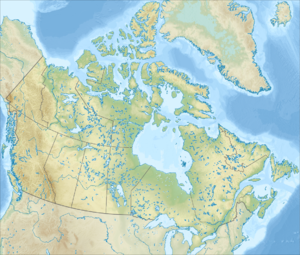
The Barrow Strait is a 270 km long strait in the Canadian territory of Nunavut . It is the narrowest passage of the Parry Channel and connects Lancastersund in the east with Viscount-Melville-Sound in the west. The Barrow Strait, located in the Canadian Arctic archipelago , separates the islands of Bathurst , Cornwallis and Devon , which belong to the Queen Elizabeth Islands , in the north from the Prince of Wales Island , Russell Island and Somerset Island in the south. At its narrowest point, between Cornwallis Island and Somerset Island, the strait is about 45 kilometers wide. The Resolute Bay settlement on Barrow Strait is the only settlement in this area of the Northwest Passage .
The strait is named after Sir John Barrow, 1st Baronet , a British politician and promoter of several official and semi-official voyages of discovery into the Arctic .
Web links
- Canadian Arctic Archipelago: Barrow Strait and Lancaster Sound in Fisheries and Oceans Canada (English)
Individual evidence
- ↑ Donat Pharand, Legault, LH: The Northwest Passage: Arctic Straits . Martinus Nijhoff Publishers, 1984, ISBN 9024729793 , p. 7.
