Kennedy Canal
| Kennedy Channel Kennedy Channel / Kennedy Channels |
||
|---|---|---|
| Central section of the Kennedy Canal; Top left: Map of the entire length of the Kennedy Canal | ||
| Connects waters | Kane Basin | |
| with water | Hall cymbals | |
| Separates land mass | Washington Land ( Greenland ) | |
| of land mass | Ellesmere Island | |
| Data | ||
| Geographical location | 80 ° 44 ′ N , 67 ° 6 ′ W | |
|
|
||
| length | 130 km | |
| Smallest width | 26 km | |
| Islands | Franklin Island , Crozier Island , Hans Island | |
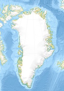
The Kennedy Channel ( English Kennedy Channel , Danish Kennedykanalen ) is a strait named after the British polar explorer William Kennedy north of the 80th parallel between the Canadian Ellesmere Island and Washington Land , a peninsula in northwest Greenland .
It is part of the Nares Strait , which connects Baffin Bay with Lincolnsee . The canal is between 26 and 29 kilometers wide and widens in the north, at the Hall Basin to the Robeson Canal , to up to 177 kilometers. During short periods in summer, the canal is not completely frozen and therefore navigable.
In addition to Franklin Island and Crozier Island, there is Hans Island in the Kennedy Channel , which is controversial between Denmark (which represents Greenland in terms of foreign policy) and Canada.

