Rice Strait
| Rice Strait | ||
|---|---|---|
| Connects waters | Rosse Bay | |
| with water | Buchanan Strait | |
| Separates land mass | Ellesmere Island | |
| of land mass | Pim Island | |
| Data | ||
| Geographical location | 78 ° 43 ′ 0 ″ N , 74 ° 43 ′ 0 ″ W | |
|
|
||
| length | 8 kilometers | |
| Smallest width | 1.5 km | |
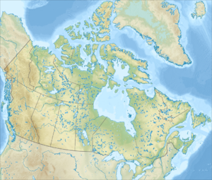
The Rice Strait (German Rice Street ) is a strait in the north of the Canadian province of Nunavut . It separates the west coast of Ellesmere Island from the offshore Pim Island . The Rice Strait is part of the Smith Sound .
The strait was named after George W. Rice (1855-1884), who was a photographer on Adolphus Greely's polar expedition from 1881 to 1884 with the party. In 1898/99 the Second Norwegian Polar Expedition spent the winter here with the Fram under the direction of Otto Sverdrup .
Web links
- Rice Strait. www.nrcan.gc.ca, accessed on October 19, 2015 (English).
Individual evidence
- ↑ Herman Dieck: The Marvelous Wonders of the Polar World. National Publishing Company, Philadelphia 1885. p. 521. (Preview in Google Books )
