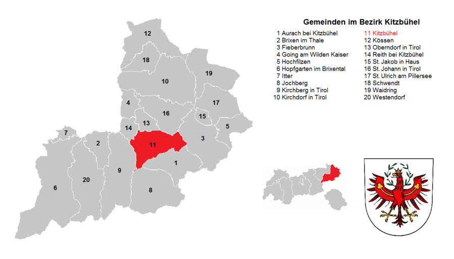
Kitzbühel district
| location | |
|---|---|
| Basic data | |
| state | Tyrol |
| NUTS III region | AT-335 |
| Administrative headquarters | Kitzbühel |
| surface | 1162 km² |
| Residents | 64,168 (January 1, 2020) |
| Population density | 55 inhabitants / km² |
| License Plate | KB |
| District Commission | |
| District Captain | Michael Berger |
| website |
www.tirol.gv.at/ kitzbuehel |
| map | |
The Kitzbühel district is a political district in the Austrian state of Tyrol .
It includes the Brixental , the Leukental and the Pillerseetal , borders in the north with Bavaria ( district Traunstein ), in the west with the district Kufstein and the district Schwaz and in the east and south with the district Zell am See (state Salzburg ).
The district with an area of 1,162.25 km² is part of the Euregio Inntal and the European region Tyrol – South Tyrol – Trentino .
Economy and Infrastructure
The economic structure of the district is mainly characterized by the service sector, here mainly the two-season tourism dominates. Important tourist areas are Kitzbühel , St. Johann in Tirol , the places on the Kaiser Mountains , Kirchberg in Tirol and also the municipality of Westendorf , which has developed into the center of the SkiWelt Wilder Kaiser - Brixental ski area in recent years and has become particularly important.
Significant industrial and commercial areas can be found in the communities of St. Johann, Oberndorf, Fieberbrunn, Kirchdorf, Kitzbühel and Brixen, where there are more than 150 companies to this day. The largest production companies are in the wood, construction and chemical industries.
In addition to the city of Kitzbühel - and the surrounding communities - in which the international jet set operates, the market town of St. Johann in Tirol has established itself as the economic center of the district. Due to the constant influx of people since 2007, the market town has been the municipality with the richest population in the district; due to its central location in a basin of the Leukental at the confluence of the Drei Achen, St. Johann has many supraregional public institutions (schools, army institutions and district hospital) as well as a wide range of retail and commercial operations now has an important function in the district.
Due to the seasonal economy, the Kitzbühel district ranks last in the income statistics of the state of Tyrol.
Administrative division
The Kitzbühel district is divided into 20 communities , including one town and three market communities. The number of inhabitants as of January 1, 2020 are in brackets.
- Regions in the table are Tyrolean planning associations (as of March 2017)
| local community | location | Ew | km² | Ew / km² | Judicial district | region | Type
|
photo | Metadata |
|---|---|---|---|---|---|---|---|---|---|
Aurach near Kitzbühel
|

|
1,116 | 54.21 | 21st | Kitzbühel | 32 - Leukental | local community
|

|
Acc. To code: 70401 |
Brixen im Thale
|

|
2,639 | 31.36 | 84 | Kitzbühel | 31 - Brixental – Wildschönau | local community
|
|
Acc. To code: 70402 |
Fieberbrunn
|
|
4,333 | 76.27 | 57 | Kitzbühel | 33 - Pillerseetal | market community
|

|
Acc. To code: 70403 |
Going at the Wilder Kaiser
|

|
1,884 | 20.55 | 92 | Kitzbühel | 30 - Wilder Kaiser | local community
|

|
According to code: 70404 |
Hochfilzen
|
|
1,243 | 32.66 | 38 | Kitzbühel | 33 - Pillerseetal | local community
|

|
Acc. To code: 70405 |
Hopfgarten in Brixental
|

|
5,630 | 166.33 | 34 | Kitzbühel | 31 - Brixental – Wildschönau | market community
|

|
Acc. To code: 70406 |
Itter
|

|
1,177 | 10.42 | 113 | Kitzbühel | 31 - Brixental – Wildschönau | local community
|

|
Acc. To code: 70407 |
Jochberg
|

|
1,519 | 87.79 | 17th | Kitzbühel | 32 - Leukental | local community
|

|
Acc. To code: 70408 |
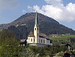
Kirchberg in Tyrol
|

|
5,230 | 97.73 | 54 | Kitzbühel | 31 - Brixental – Wildschönau | local community
|
|
Acc. To code: 70409 |
Kirchdorf in Tirol
|

|
3,975 | 113.69 | 35 | Kitzbühel | 32 - Leukental | local community
|

|
Acc. To code: 70410 |
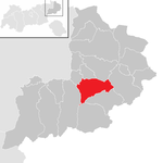
Kitzbühel
|
|
8,225 | 57.97 | 142 | Kitzbühel | 32 - Leukental | urban community
|

|
According to code: 70411 |
Kössen
|

|
4,426 | 69.29 | 64 | Kitzbühel | 28 - Lower Schranne – Kaiserwinkl | local community
|

|
Acc. To code: 70412 |
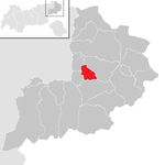
Oberndorf in Tyrol
|
|
2,290 | 17.71 | 129 | Kitzbühel | 32 - Leukental | local community
|
|
Acc. To code: 70413 |
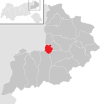
Reith near Kitzbühel
|
|
1,674 | 15.65 | 107 | Kitzbühel | 32 - Leukental | local community
|

|
Acc. To code: 70414 |
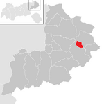
St. Jacob in house
|
|
795 | 9.6 | 83 | Kitzbühel | 33 - Pillerseetal | local community
|

|
Acc. To code: 70415 |
St. Johann in Tirol
|

|
9,547 | 59.08 | 162 | Kitzbühel | 32 - Leukental | market community
|

|
Acc. To code: 70416 |
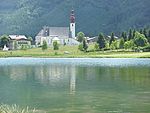
St. Ulrich am Pillersee
|

|
1,874 | 51.99 | 36 | Kitzbühel | 33 - Pillerseetal | local community
|
|
According to code: 70417 |
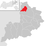
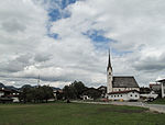
Schwendt
|
|
857 | 30.83 | 28 | Kitzbühel | 28 - Lower Schranne – Kaiserwinkl | local community
|
|
Acc. To code: 70418 |
Waidring
|

|
2,050 | 63.71 | 32 | Kitzbühel | 33 - Pillerseetal | local community
|

|
Acc. To code: 70419 |
Westendorf
|
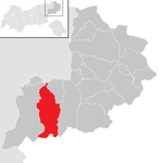
|
3,684 | 95.41 | 39 | Kitzbühel | 31 - Brixental – Wildschönau | local community
|

|
According to code: 70420 |
Population development

See also
Individual evidence
- ↑ More companies in the district! [1] ( Page no longer available , search in web archives ) Info: The link was automatically marked as defective. Please check the link according to the instructions and then remove this notice. Tiroler Bezirksblätter from September 9, 2009
- ↑ Statistics Austria - Population at the beginning of 2002–2020 by municipalities (area status 01/01/2020)
Coordinates: 47 ° 27 ' N , 12 ° 23' E


