
Gmina Mosina
| Gmina Mosina | |||
|---|---|---|---|

|
|
||
| Basic data | |||
| State : | Poland | ||
| Voivodeship : | Greater Poland | ||
| Powiat : | Poznański | ||
| Geographic location : | 52 ° 14 ' N , 16 ° 51' E | ||
| Residents : | s. Gmina | ||
| Postal code : | 62-050 | ||
| Telephone code : | (+48) 61 | ||
| License plate : | PZ and POZ | ||
| Economy and Transport | |||
| Street : | DW430 Mosina– Poznan | ||
| DW431 Kórnik - Granowo | |||
| Rail route : | Poznan-Wroclaw | ||
| Next international airport : | Poznań-Ławica | ||
| Gmina | |||
| Gminatype: | Urban-and-rural parish | ||
| Gmina structure: | 21 school authorities | ||
| Surface: | 170.87 km² | ||
| Residents: | 33,255 (Jun. 30, 2019) |
||
| Population density : | 195 inhabitants / km² | ||
| Community number ( GUS ): | 3021103 | ||
| Administration (as of 2018) | |||
| Mayor : | Przemysław Mieloch | ||
| Address: | pl. 20-tego października 1 62-050 Mosina |
||
| Website : | www.mosina.pl | ||

The Gmina Mosina [ ˈmɔɕɪna ] is an urban-and-rural municipality in the Powiat Poznański of the Greater Poland Voivodeship in Poland . Its seat is the city of the same name ( German Moschin ) with about 14,000 inhabitants.
geography
_location_map.png)
The municipality is centrally located in the voivodeship. In the north-east it borders on the regional capital of Poznan (seat of the Powiat). The other neighboring municipalities are the municipalities: Kórnik in the east, Brodnica in the south, Czempiń in the southwest, Stęszew in the west and Komorniki , Puszczykowo , Komorniki (2nd) and Luboń in the north.
The Warta flows through the eastern part of the municipality and forms the western border of the municipality in the north. Its tributaries Samica Stęszewska with 37 kilometers and Kopel with 34 kilometers flow into the Warta in the municipality. This belongs to the Greater Poland Lake District ( Polish Pojezierze Wielkopolskie). The channel lakes Jezioro Dymaczewskie with 120 hectares of water surface and Jezioro Góreckie (100 ha) are part of the National Park Greater Poland in the west of the church. There are also a number of much smaller lakes.
The community has an area of 170.9 km², 49 percent of which is used for agriculture and 38 percent for forestry.
history
Administrative history
The current municipal area, interrupted by the German occupation in World War II , belonged from 1919 to 1957 to the powiat Śremski and to the Poznan Voivodeship with different layouts. In 1954 the rural parishes were divided into Gromadas and in 1958 the area became part of the former Powiat Poznański. - The German minority was expelled after the World War.
On January 1, 1973, the rural community of Mosina was re-established. From 1975 to 1998 the municipality came to the greatly reduced Poznan Voivodeship . The powiat was dissolved during this time. The urban and rural community of Mosina were merged into the urban and rural community in 1990/1991. Since 1999, this has belonged to the Greater Poland Voivodeship and the Powiat Poznański of the current shape, which were newly formed.
Community partnerships
- Seelze (Lower Saxony, Germany), since 2001
- Gmina Witnica (Lubusz Voivodeship), since 2013
structure
The city and country community (gmina miejsko-wiejska) Mosina with 33,255 inhabitants (as of June 30, 2019) includes the city itself and 21 villages with school boards (sołectwa):
| Surname | German name (1815-1918) |
German name (1939-1945) |
|---|---|---|
| Babki | Babki | Altenau |
| Baranówko | Baranowo Hauland 1906–1918 Rohrheim |
Rohrheim |
| Borkowice | Borek Hauland 1906–1918 Lindenhain |
Linden grove |
| Czapury | Czapury | Staffelbach |
| Daszewice | Daszewice | Neusteindorf |
| Drużyna | Kampratsdorf | Kampratsdorf |
| Dymaczewo Nowe | New Demantschewo 1906–1918 Neusee |
New Lake |
| Dymaczewo starlings | Alt Demantschewo 1906–1918 Altsee |
Altsee |
| Krajkowo | Krajkowo | Waldeck |
| Krosinko | Krosno Hauland | Mountain village |
| Krosno | Krosno 1906–1918 Altkirch |
Altkirch |
| Mieczewo | Mieczewo | Schwertingen |
| Pecna | Petzen Hauland | Petzen Hauland |
| Radzewice | Hohensee | Hohensee |
| Rogalin | Rogalin | Oak grove |
| Rogalinek | Rogalinek | Warthebrück |
| Sasinowo | Sachsenfelde | Sachsenfelde |
| Sowinki | Sowiniec Hauland 1906–1918 Rohrwiese |
Rohrwiese |
| Świątniki | Swiontnik | Heildorf |
| Wiórek | Wiorek | Spanndorf |
| Żabinko | Forest height | Forest height |
The following smaller places are assigned to the school authorities or the city:
| Surname | German name (1815-1918) |
German name (1939-1945) |
Schulzenamt |
|---|---|---|---|
| Baranowo | Baranowo | Schafheim | Krajkowo |
| Bolesławiec | Boleslawice | Wildrode | Borkowice |
| Głuszyna Leśna | Gluschin Forest | Waldhagen | Babki |
| Jeziory | Seeberg | Mariensee (since 1940) |
Mosina |
| Konstantynowo | Vorwerk Konstantinowo | ? | Pecna |
| Kubalin | Kubalin | Eichenried | Babki |
| Ludwikowo | Ludwigsdorf | Ludwigsdorf | Krosinko |
| Nowinki | Neuhauland, older also New Holland | Neurode | Drużyna |
| As well as c | As well as c | ? | Sowinki |
Attractions
- Rogalin Castle in Rogalin
- Former synagogue in Mosina , now a local museum
- Greater Poland National Park
traffic
The DW430 provincial road leads through the neighboring cities of Puszczykowo and Luboń (Luban) to Poznan, where highways and national roads (droga krajowa) can be reached. The DW431 connects Mosina with Kórnik (Kurnik) in the east and with Granowo in the west, bypassing the national park.
The Mosina railway station and the Drużyna Poznańska stop in the village of Drużyna exist on the Poznan – Wroclaw railway line .
The nearest international airport is Poznań-Ławica .
Web links
- City and municipality website (Polish)
Footnotes
- ↑ population. Size and Structure by Territorial Division. As of June 30, 2019. Główny Urząd Statystyczny (GUS) (PDF files; 0.99 MiB), accessed December 24, 2019 .
- ↑ a b c d regioset.pl: data on the municipality (Polish, accessed May 30, 2020)
- ↑ a b mosina.pl: Miasta partnerskie. (Polish, accessed May 30, 2020)
- ↑ a b bip.mosina.pl: Sołectwa. (accessed on May 30, 2020)
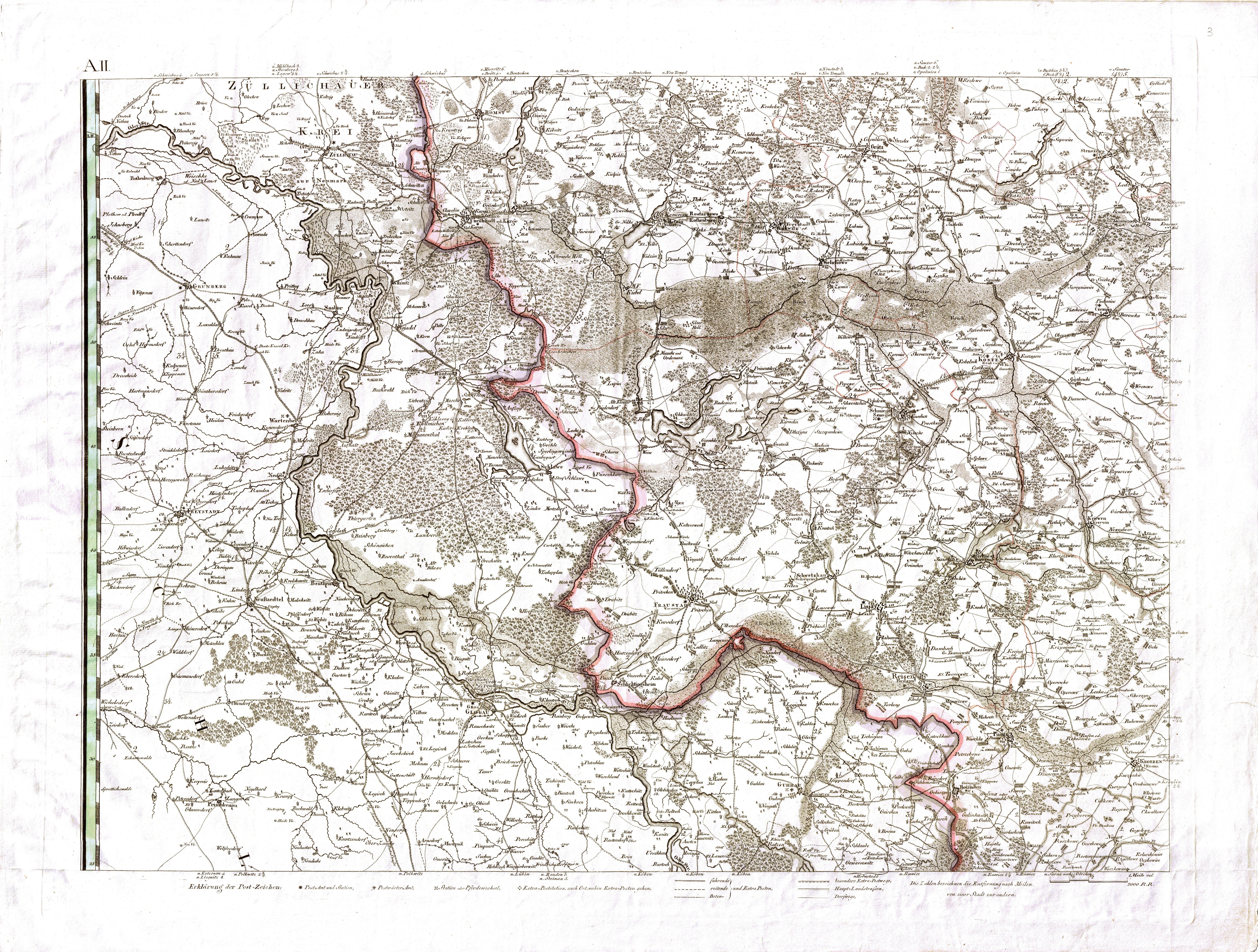
- ^ David Gilly : Special map of South Prussia. (1803, accessed May 31, 2020)

Municipalities of Luboń | Puszczykowo
Urban-and-rural parishes Buk | Kórnik | Kostrzyn | Mosina | Murowana Goślina | Pobiedziska | Stęszew | Swarzędz
Rural Communes of Czerwonak | Dopiewo | Kleszczewo | Komorniki | Rokietnica | Suchy Las | Tarnowo Podgórne