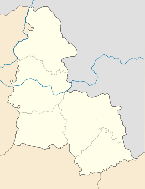
Chupachivka
| Chupachivka | ||
| Чупахівка | ||

|
|
|
| Basic data | ||
|---|---|---|
| Oblast : | Sumy Oblast | |
| Rajon : | Okhtyrka district | |
| Height : | no information | |
| Area : | Information is missing | |
| Residents : | 2,441 (2014) | |
| Postcodes : | 42722 | |
| Area code : | +380 5446 | |
| Geographic location : | 50 ° 22 ' N , 34 ° 35' E | |
| KOATUU : | 5920355500 | |
| Administrative structure : | 1 urban-type settlement , 3 villages | |
| Address: | вул. Леніна 1 42722 смт. Чупахівка |
|
| Statistical information | ||
|
|
||
Tschupachiwka ( Ukrainian Чупахівка ; Russian Чупаховка Tschupachowka ) is an urban-type in the Ukrainian Sumy with about 2400 inhabitants (2014).
Chupachivka has been an urban-type settlement since 1956.
geography
Chupachivka is located in Okhtyrka district on the T-19-06 territorial road and on the banks of the Tashan ( Ташань ), a 51 km long tributary of the Hrun Tashan ( Грунь-Ташань ), 26 km northwest of the district center of Okhtyrka and about 80 km south of the oblast center Sumy .
In addition to Tschupachiwka , the settlement council also includes the villages Konowalyk ( Коновалик , about 10 inhabitants), Olenynske ( Оленинське , about 530 inhabitants) and Sofijiwka ( Софіївка ) with about 10 inhabitants.
Individual evidence
- ↑ Population figures of Ukrainian localities on pop-stat.mashke.org, last accessed on April 23, 2015

