Terny
| Terny | ||
| Терни | ||

|
|
|
| Basic data | ||
|---|---|---|
| Oblast : | Sumy Oblast | |
| Rajon : | Nedryhajliw district | |
| Height : | no information | |
| Area : | Information is missing | |
| Residents : | 3,119 (2014) | |
| Postcodes : | 41226 | |
| Area code : | +380 5455 | |
| Geographic location : | 50 ° 59 ' N , 33 ° 58' E | |
| KOATUU : | 5923555600 | |
| Administrative structure : | 1 urban-type settlement , 8 villages, 2 settlements | |
| Address: | вул. Леніна 31 41226 смт. Свеса |
|
| Statistical information | ||
|
|
||
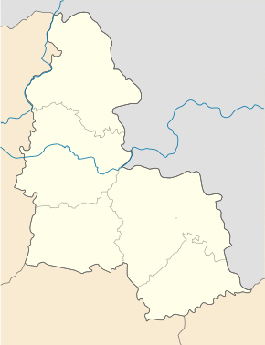
Terny ( Ukrainian Терни ; Russian Терны ) is an urban-type settlement in the center of the Ukrainian Sumy Oblast with around 3,100 inhabitants (2014).
Terny was founded in 1643 and has been an urban-type settlement since 1938. Terny is the center of the settlement council of the same name.
geography
Terny is located on the banks of the Tern in the north of Nedryhajliw district on the regional road P-61 , 63 km west of Sumy Oblast center and 21 km north of Nedryhajliw district center .
In addition to Terny, the villages also belong to the settlement council
- Babakowe ( Бабакове ⊙ , about 40 inhabitants)
- Volodymyrivka ( Володимирівка ⊙ , about 60 inhabitants)
- Hostryj Schpyl ( Гострий Шпиль ⊙ , about 35 inhabitants)
- Dolyna ( Долина ⊙ , about 60 inhabitants)
- Kiwschyk ( Ківшик ⊙ , about 90 inhabitants)
- Masne ( Мазне ⊙ , about 60 inhabitants)
- Cholodne ( Холодне ⊙ , about 15 inhabitants)
- Schmatowe ( Шматове ⊙ , about 20 inhabitants)
as well as the settlements
- Oserne ( Озерне ⊙ , about 55 inhabitants)
- Tscherepiwka ( Черепівка ⊙ , about 200 inhabitants)
Sons and daughters of the village
- Praskowja Sergejewna Uvarowa (1840–1924), amateur archaeologist and lady-in-waiting to the Russian empress
Individual evidence
- ↑ Population figures of Ukrainian localities on pop-stat.mashke.org, last accessed on December 22, 2014


