Stepanivka
| Stepanivka | ||
| Степанівка | ||

|
|
|
| Basic data | ||
|---|---|---|
| Oblast : | Sumy Oblast | |
| Rajon : | Sumy Raion | |
| Height : | no information | |
| Area : | Information is missing | |
| Residents : | 5,561 (2014) | |
| Postcodes : | 42304 | |
| Area code : | +380 542 | |
| Geographic location : | 50 ° 57 ' N , 34 ° 37' E | |
| KOATUU : | 5924755800 | |
| Administrative structure : | 1 urban-type settlement , 9 villages | |
| Address: | вул. Центральна 46 42304 смт. Степанівка |
|
| Statistical information | ||
|
|
||
Stepanivka ( Ukrainian Степанівка ; Russian Степановка Stepanowka ) is an urban-type settlement in the Ukrainian Sumy Oblast with about 5500 inhabitants (2014).
Stepanivka was first mentioned in 1670 and has been an urban-type settlement since 1968.
geography
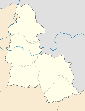
Stepanivka is located in Sumy Raion on the bank of the Sumka ( Ukrainian Сумка ), a small tributary of the Psel 13 km west of the center of Sumy on the regional road P-61 .
The settlement council municipality belonged until 2017, in addition Stepaniwka nor the villages Hlynjane and Holowaschiwka , on 15 March 2017, the village became the center of the newly established settlement community Stepaniwka ( Степанівська селищна громада Stepaniwska selyschtschna hromada ), to which even the 9 villages Biloussiwka ( Білоусівка ) Hlynjane ( Глиняне ) Holowaschiwka ( Головашівка ) Mylowydiwka ( Миловидівка ) Nowomychajliwka ( Новомихайлівка ) Oleksandriwka ( Олександрівка ) Pidlisniwka ( Підліснівка ) Stepne ( Степне ) and Tscherwonyj Kut ( Червоний Кут ) count.
Sons and daughters of the village
- Oleh Husjew (* 1983) Ukrainian national football player
- Oleksandr Schaparenko (* 1946), Soviet canoeist
Web links
- Entry on the place in the Encyclopedia of the History of Cities and Villages of the Ukrainian SSR (Ukrainian)
Individual evidence
- ↑ Population figures of Ukrainian localities on pop-stat.mashke.org, last accessed on December 4, 2014
- ↑ Відповідно до Закону України "Про добровільне об'єднання територіальних громад" ко Сумську комсмад "уо Сумську облемсь кусмуку облемсь кусмусн убломсь кораін

