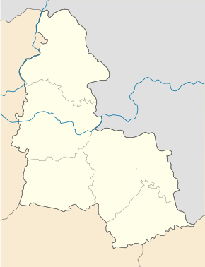
Chotin
| Chotin | ||
| Хотінь | ||

|
|
|
| Basic data | ||
|---|---|---|
| Oblast : | Sumy Oblast | |
| Rajon : | Sumy Raion | |
| Height : | 159 m | |
| Area : | Information is missing | |
| Residents : | 2,445 (2016) | |
| Postcodes : | 42320 | |
| Area code : | +380 542 | |
| Geographic location : | 51 ° 5 ' N , 34 ° 47' E | |
| KOATUU : | 5924756200 | |
| Administrative structure : | 1 urban-type settlement , 9 villages | |
| Mayor : | Nina Melnyk | |
| Address: | вул. Леніна 45 42320 смт. Хотінь |
|
| Statistical information | ||
|
|
||
Chotin (Ukrainian Хотінь ; Russian Хотень / Choten ) is an urban-type settlement in the northern Ukrainian Sumy Oblast with about 2,400 inhabitants (2016).
It is located in the central part of the oblast near the 25 kilometers north of the border with Russia on the upper reaches of the Oleschnja River ( Олешня ), about 25 kilometers north of the district and oblast capital Sumy . Until 2016, the settlement community also included the village of Pyssarivka to the east, in addition to the settlement . On September 12, 2016, the settlement became the center of the newly established settlement community Khotin (Хотінська селищна громада / Chotinska selyschtschna hromada ), to which even the 9 villages Andrijiwka (Андріївка) Kindratiwka (Кіндратівка) Kostiantynivka (Костянтинівка) Nowomykolajiwka (Новомиколаївка) Oleksiyivka (Олексіївка), Persche Trawnja (Перше Травня), Pyssariwka (Писарівка), Stepne (Степне) and Volodymyriwka (Володимирівка) include.
history
The place was established in the 17th century and since 1968 it has had the status of an urban-type settlement.
Web links
- Entry on the place in the Encyclopedia of the History of Cities and Villages of the Ukrainian SSR (Ukrainian)

