Ulyanivka
| Ulyanivka | ||
| Улянівка | ||

|
|
|
| Basic data | ||
|---|---|---|
| Oblast : | Sumy Oblast | |
| Rajon : | Bilopillia district | |
| Height : | no information | |
| Area : | Information is missing | |
| Residents : | 2,452 (2014) | |
| Postcodes : | 41856 | |
| Area code : | +380 5443 | |
| Geographic location : | 50 ° 58 ' N , 34 ° 18' E | |
| KOATUU : | 5920655700 | |
| Administrative structure : | 1 urban-type settlement , 2 villages | |
| Address: | пл. Жовтнева 5 41856 смт. Улянівка |
|
| Statistical information | ||
|
|
||
Ulyanivka ( Ukrainian Улянівка ; Russian Ульяновка Ulyanovka ) is an urban-type settlement in the Ukrainian Sumy Oblast with about 2,400 inhabitants (2014).
Ulyanivka was founded in the late 17th century, received the status of an urban-type settlement in 1957 and is the administrative center of the settlement council of the same name, which also includes the villages of Baksha ( Бакша ) with about 110 inhabitants and Pavlenkowe ( Павленкове ) with about 100 inhabitants.
geography
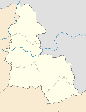
Ulyanivka is located in the center of Bilopillja Rajon on the bank of the small river Vyr ( Ukrainian Вир ), a tributary of the Seim , 25 km south of the Rajon center Bilopillja and 45 km west of the Oblast capital Sumy . The territorial road T – 19–06 runs through the village, the regional road P – 61 runs in the south of the village . In the southeast Ulyanivka borders on the urban-type settlement Mykolaivka .
Web links
- Entry on the place in the Encyclopedia of the History of Cities and Villages of the Ukrainian SSR (Ukrainian)
Individual evidence
- ↑ Population figures of Ukrainian localities on pop-stat.mashke.org, last accessed on April 18, 2015

