Seredyna-Buda
| Seredyna-Buda | ||
| Середина-Буда | ||

|
|
|
| Basic data | ||
|---|---|---|
| Oblast : | Sumy Oblast | |
| Rajon : | Seredyna-Buda district | |
| Height : | 185 m | |
| Area : | 27.03 km² | |
| Residents : | 7,144 (2017) | |
| Population density : | 264 inhabitants per km² | |
| Postcodes : | 41000 | |
| Area code : | +380 5451 | |
| Geographic location : | 52 ° 11 ' N , 34 ° 2' E | |
| KOATUU : | 5924410100 | |
| Administrative structure : | 1 city , 7 villages | |
| Address: | вул. Вокзальна 5 41000 м. Середина-Буда |
|
| Website : | http://s-buda.gov.ua/ | |
| Statistical information | ||
|
|
||
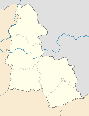
Seredyna-Buda ( Ukrainian Середина-Буда ; Russian Середина-Буда Seredina-Buda ) is a city in Ukraine and the administrative seat of the Rajon of the same name in the northeast of Sumy Oblast right on the border with Russia with about 7100 inhabitants (2014).
history
The city was founded by Russian, old Orthodox emigrants and was first mentioned in writing in 1689. Seredyna-Buda has had city status since 1964.
geography
Seredyna-Buda is located at the source of the Ulychka, a 28 km long river that flows over the Snobiwka into the Desna . Territorial roads T-19-08 , T-19-15 and T-19-24 run through the city . The Sumy Oblast Center is 210 km southeast of the city. Seredyna-Buda has a train station on the Bryansk - Konotop railway line .
For City Council community include not only Welyka Pyssariwka nor the villages Wyntoriwka ( Винторівка ⊙ ) Sorokyne ( Сорокине ⊙ ) Chliborob ( Хлібороб ⊙ ) and Schalymiwka ( Шалимівка ⊙ ) and the settlements Prohres ( Прогрес ⊙ ) Rudak ( Рудак ⊙ ) and Zarichne ( Зарічне ⊙ ).
sons and daughters of the town
- Sergei Kowaljow (* 1930), Soviet dissident and Russian politician
Web links
- Entry on the place in the Encyclopedia of the History of Cities and Villages of the Ukrainian SSR (Ukrainian)
- Seredyna Buda . In: Filip Sulimierski, Władysław Walewski (eds.): Słownik geograficzny Królestwa Polskiego i innych krajów słowiańskich . tape 10 : Rukszenice – Sochaczew . Walewskiego, Warsaw 1889, p. 441 (Polish, edu.pl ).
Individual evidence
- ↑ Population figures of Ukrainian localities on pop-stat.mashke.org, last accessed on October 31, 2017

