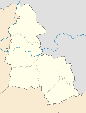
Uhrojidy
| Uhrojidy | ||
| Угроїди | ||

|
|
|
| Basic data | ||
|---|---|---|
| Oblast : | Sumy Oblast | |
| Rajon : | Krasnopillja district | |
| Height : | 186 m | |
| Area : | Information is missing | |
| Residents : | 2,046 (2017) | |
| Postcodes : | 42432 | |
| Area code : | +380 5459 | |
| Geographic location : | 50 ° 52 ' N , 35 ° 17' E | |
| KOATUU : | 5922355600 | |
| Administrative structure : | 1 urban-type settlement | |
| Address: | вул. Радянська 6 42432 смт. Угроїди |
|
| Website : | City council website | |
| Statistical information | ||
|
|
||
Uhrojidy ( Ukrainian Угроїди ; Russian Угроеды Ugrojedy ) is an urban-type settlement in the east of the Ukrainian Sumy Oblast with about 2000 inhabitants (2017).
The village, founded in 1652, has been an urban-type settlement since 1956.
geography
Uhrojidy is located in the Krasnopillja district on the banks of the Rybyzja ( Рибиця ), a 30 km long tributary of the Psel between the territorial roads T – 19–01 and T – 19–18 12 km north of the district center Krasnopillja and about 50 km east of the oblast center Sumy .
In addition to Uhrojidy, the settlement council congregation of the same name included the villages of Naumiwka ( Наумівка , about 440 inhabitants), Okip ( Окіп , about 30 inhabitants) and Petrushiwka ( Петрушівка ) with about 170 inhabitants, since December 23, 2016 the settlement council congregation Part of the municipality of Krasnopillja .
sons and daughters of the town
- Tetjana Antypenko (* 1981), cross-country skier
Individual evidence
- ↑ Population figures of Ukrainian localities on pop-stat.mashke.org; accessed on February 4, 2018
- ^ Local history Uhrojidy in the history of the cities and villages of the Ukrainian SSR ; accessed on February 4, 2018 (Ukrainian)
- ↑ Відповідно до Закону України "Про добровільне об'єднання територіальних громад" укомімад "уо Сумськай обліміс укрімад" уо Сумськасу уо Сумсьсй облінсьсру уо Сумісь облімад "уо Сумсьсй обліміс укрімад

