Lypowa Dolyna
| Lypowa Dolyna | ||
| Липова Долина | ||

|
|
|
| Basic data | ||
|---|---|---|
| Oblast : | Sumy Oblast | |
| Rajon : | Lypowa Dolyna district | |
| Height : | no information | |
| Area : | Information is missing | |
| Residents : | 5,156 (2017) | |
| Postcodes : | 42500 | |
| Area code : | +380 5452 | |
| Geographic location : | 50 ° 34 ' N , 33 ° 47' E | |
| KOATUU : | 5923255100 | |
| Administrative structure : | 1 urban-type settlement | |
| Address: | вул. Роменська 10 42500 смт. Липова Долина |
|
| Website : | http://www.lipovadolina.info/ | |
| Statistical information | ||
|
|
||
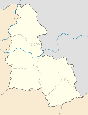
Lypowa Dolyna ( Ukrainian Липова Долина ; Russian Липовая Долина Lipowaja Dolina ) is a village in the Ukrainian Sumy Oblast with about 5200 inhabitants (2017). Lypowa Dolyna is the administrative center of the raion of the same name and has been an urban-type settlement since 1961 .

geography
Lypowa Dolyna is located on the upper reaches of the Khorol about 105 km southwest of the Sumy Oblast center on the territorial roads T-19-13 and T-19-04 . The nearest train station is in Romny, 34 km northwest of Lypowa Dolyna.
Rajon
The Lypowa Dolyna Raion, administered from Lypowa Dolyna, is located in the south of Sumy Oblast and borders on Poltava Oblast in the south . It has an area of 900 km² and a population of around 19,600 inhabitants. The population density of the Rajons is 22 inhabitants per km².
Web links
Individual evidence
- ↑ Population figures of Ukrainian localities on pop-stat.mashke.org; accessed on October 6, 2017

