Beijing-Taipei Highway
| G3 highway in China | |

|
|
| map | |
| Basic data | |
| Operator: | |
| Overall length: | 2030 km |
| of which in planning: | 149 km |
| The Beijing-Taipei Highway crosses the Taipinghu Bridge | |
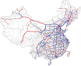
The Beijing-Taipei or Jingtai Highway ( Chinese 京 台 高速公路 , Pinyin Jīngtái gāosù gōnglù , English Jingtai Expressway ), Chinese abbreviation G3 , is a currently 1881 km long highway in China , which connects the capital Beijing in the north with the East Chinese metropolis of Fuzhou connects. With the exception of a short stretch in Fujian Province , this route can be used continuously. An extension to the Taiwanese capital Taipei is planned, but is controversial because of the Taiwan conflict . According to this, the People's Republic of China sees Taiwan as a breakaway province, while the Republic of China sees itself on Taiwan as a sovereign state. Another challenge would be the construction of a more than 100 km long tunnel under Formosa Street. If it were realized, the total length would be 2030 km.
The highway connects the cities of Beijing, Tianjin , Jinan , Tai'an , Hefei and Fuzhou .
The name Jing-Tai 京 台 is a combination of the last character of Peking (Beijing) and the character Tai, which stands for Taipei.


