M32 motorway
| M32 motorway in the UK | |||||||||||||
|
|
|||||||||||||
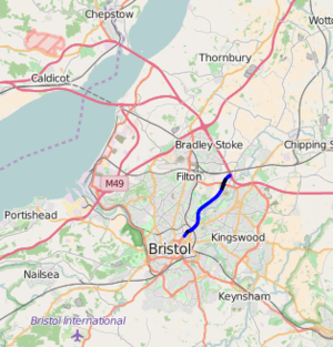
| map | |||||||||||||
| Basic data | |||||||||||||
| Operator: | Highways Agency | ||||||||||||
| Start of the street: | M4 motorway , junction 19, Hambrook | ||||||||||||
| End of street: | St Pauls, Bristol | ||||||||||||
| Overall length: | 7.1 km (4.4 mi ) | ||||||||||||
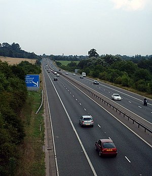
| The M32 between Junction 1 and Junction 2 (photo 2004) | |||||||||||||
|
Course of the road
|
|||||||||||||
Opened between 1966 and 1975, the M32 motorway ( English for M32 ) is a 7.1 km long motorway in England . It connects the M4 motorway with the city center of Bristol .


