North Beacon Street Bridge
Coordinates: 42 ° 21 ′ 34 " N , 71 ° 9 ′ 43" W.
| North Beacon Street Bridge | ||
|---|---|---|
| The North Beacon Street Bridge in April 2009 | ||
| Convicted |
|
|
| Crossing of | Charles River | |
| place |
Watertown and Boston , Massachusetts , United States |
|
| Entertained by | Massachusetts Department of Transportation | |
| Building number | MA B16014 | |
| construction | Arch Bridge of concrete | |
| overall length | 205.1 ft (62.5 m ) | |
| width | 54.1 ft (16.5 m ) | |
| Longest span | 75.1 ft (22.9 m ) | |
| vehicles per day | 19,900 (as of 1997) | |
| opening | 1917 | |
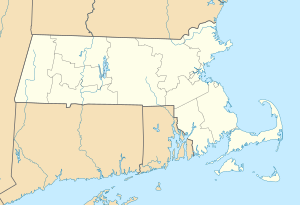
| location | ||
|
|
||
The North Beacon Street Bridge is an arch bridge in the state of Massachusetts in the United States , which leads US Highway 20, designated North Beacon Street , from Watertown to the Boston district of Brighton over the Charles River . The structure was erected in 1917.
The southern end of the bridge is also the western end of Soldiers Field Road , while its northern end is at the western end of Greenough Boulevard , an extension of Memorial Drive .
The North Beacon Street that crosses the bridge is not to be confused with the famous Boston Beacon Street .
See also
Individual evidence
- ^ Charles River Basin Master Plan. ( PDF ; 1.1 MB) Department of Conservation and Recreation , p. 151 , accessed on December 9, 2012 (English).
Web links
|
Upstream Watertown Bridge MA 16 |
Crossing the Charles River North Beacon Street Bridge US 20 |
Downstream Arsenal Street Bridge |
